
onX Hunt: GPS Hunting Maps
Compass, Wind & Property Info
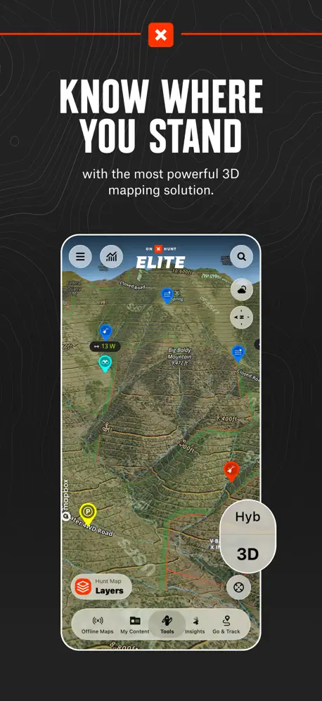
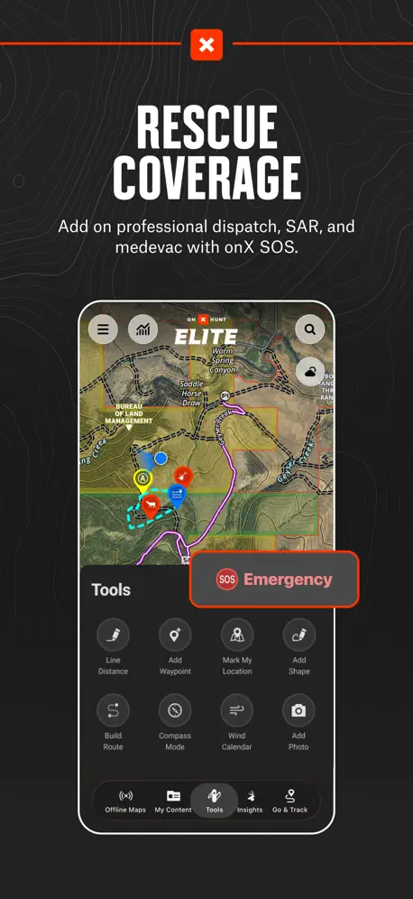
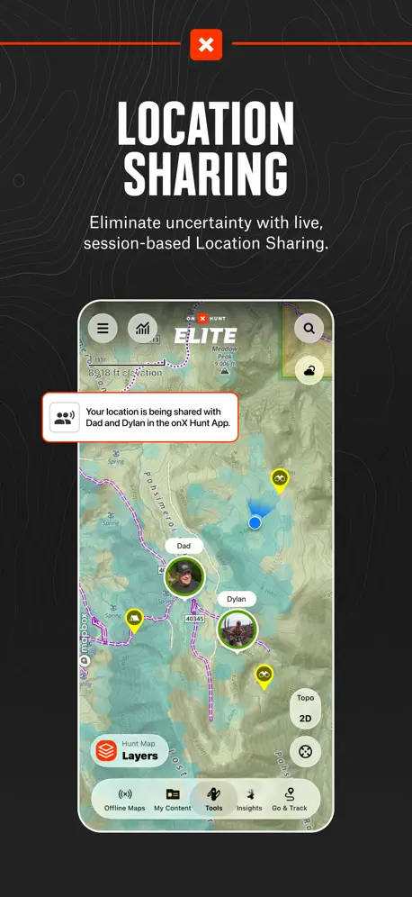
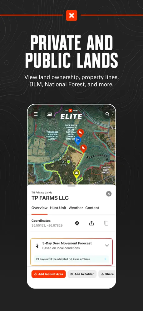
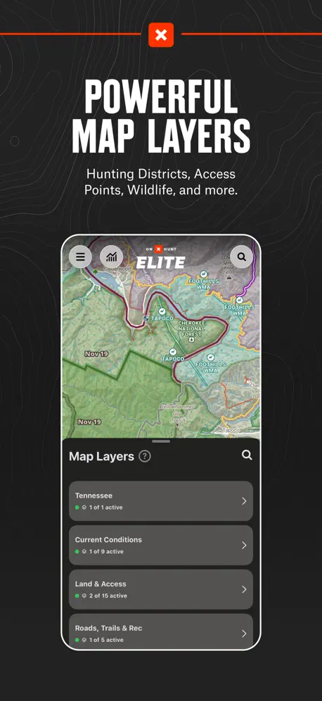
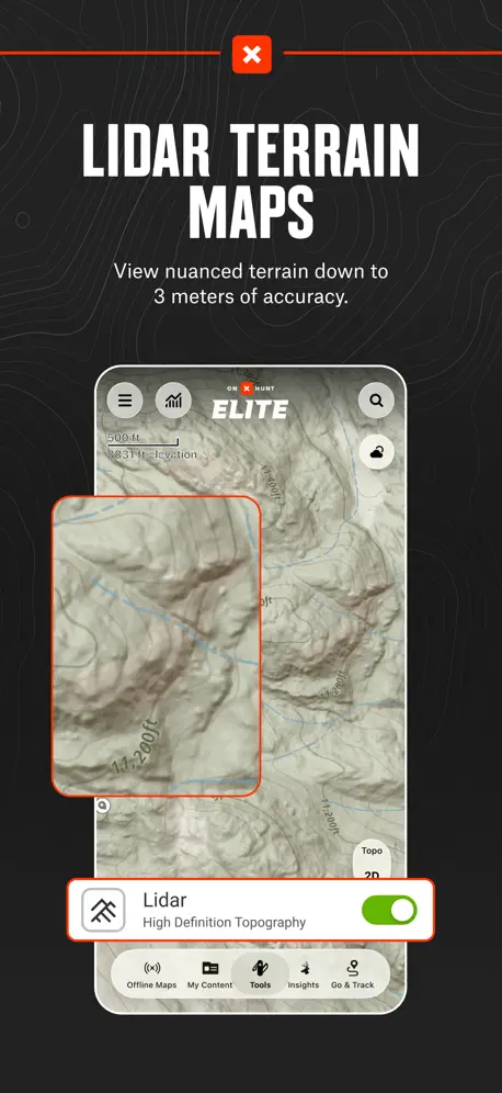
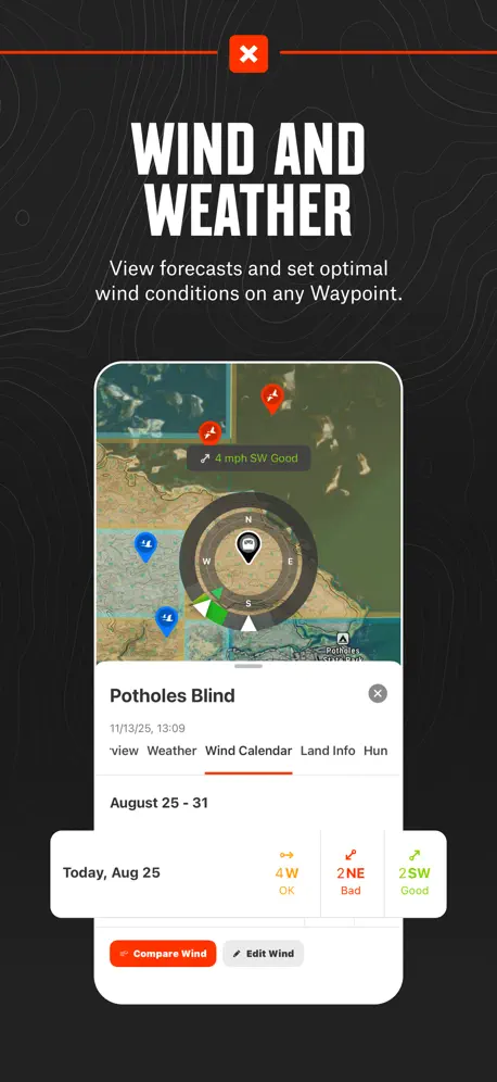
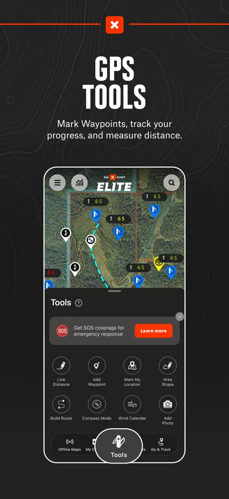
How much does onX Hunt: GPS Hunting Maps cost?
Prices are current as of 4 Oct 2026.
6 subscriptions from $14.99
In the United States, onX Hunt: GPS Hunting Maps has 6 subscriptions priced $14.99 – 99.99. It comes with a 7 days free trial.
| Subscription | Period | Price |
|---|---|---|
| Elite Monthly Membership | MonthlyTrial: 7 days | $14.99 |
| HUNT Elite Monthly Membership | Monthly | $14.99 |
| Hunt Premium Yearly Membership | Annual | $29.99 |
| Premium Yearly Membership | AnnualTrial: 7 days | $34.99 |
| Premium Two State Membership | AnnualTrial: 7 days | $49.99 |
| Elite Yearly Membership | AnnualTrial: 7 days | $99.99 |
See what onX Hunt: GPS Hunting Maps costs in all 2 countries →
10+ alternatives to onX Hunt: GPS Hunting Maps
| onX Hunt: GPS Hunting Maps |   HuntWise: A Better Hunting App HuntWise: A Better Hunting App |   LandGlide: Parcel & Field Maps LandGlide: Parcel & Field Maps |   ActiveCaptain® ActiveCaptain® | 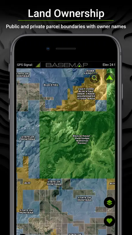  BaseMap: 3D Hunting Maps & GPS BaseMap: 3D Hunting Maps & GPS |   GOHUNT: Research & Maps GOHUNT: Research & Maps |   CalTopo: Backcountry Mapping CalTopo: Backcountry Mapping | 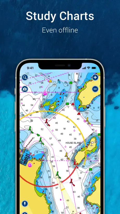  Navionics® Boating Navionics® Boating |   Garmin Explore™ Garmin Explore™ | 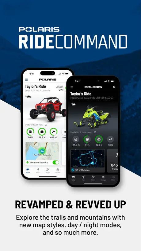  Polaris® Polaris® | 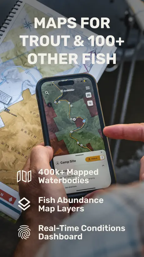  onWater: Fishing Spots Map onWater: Fishing Spots Map | |
|---|---|---|---|---|---|---|---|---|---|---|---|
| Rating / 5 | 4.9 | 4.7 | 4.8 | 4.0 | 4.6 | 4.8 | 4.8 | 3.0 | 4.0 | 4.5 | 4.5 |
| Reviews | 277K | 69K | 60K | 9.5K | 9.4K | 8.6K | 8.4K | 8K | 4.3K | 3.5K | 2.8K |
| Released | 2013 | 2013 | 2014 | 2017 | 2018 | 2021 | 2019 | 2014 | 2018 | 2012 | 2021 |
| Monthly price | $14.99 | $19.99 | $9.99 | — | $4.99 | — | — | — | — | — | $4.99 |
| Annual price | $49.99 | $59.99 | $99.99 | $99.99 | $39.99 | $169.99 | — | $49.99 | — | — | $49.99 |
The going rate for each plan in United States, in its own currency, shaded from the cheapest price on the row to the dearest. Plans fewer than four in ten of the priced apps sell are left out.
onX Hunt: GPS Hunting Maps reviews
4.9 out of 5, based on 276,768 reviews.
What people like
- Customer support is genuinely helpful and fast
- Great tool for planning hunts and scouting
- Accurate GPS tracking saves time in the field
What they complain about
- Canadian map data is outdated and missing
- You must pay extra for other activities
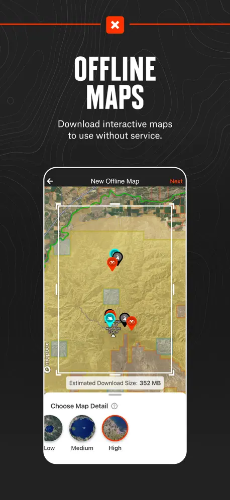
- Offline maps can fail when you need them
- Property ownership information is often wrong or old
User Friendly!
I use this App daily and would be lost without it. Thanks for such a great product
pos
it wont even let me log in it says invalid response from server i wish i could give it 0 stars
Serious reliability concerns
The biggest reason I pay for onX elite is offline maps. Before a remote Colorado River trip, I downloaded everything. Once I was offline, the maps were blurry and lacked the detail needed for navigation. That’s exactly when this app is suppose to shine. If I can’t trust, it’s offline maps in the wilderness, what am I paying for? I hope onX addresses this issue because it’s a serious reliability concern. Update: OnX followed up and took this seriously. Their engineering team reviewed my screenshots and logs and confirmed. There was a real issue where off-line maps could appear fully downloaded even though the detailed imagery had not completely saved to the device. They told me they’ve already released a fix for the primary cause and are developing a feature to verify downloaded imagery before users lose service. I also want to be transparent that OnX extended my elite membership for two years as an apology. I appreciate that, but what restored my confidence more than the membership extension was that they investigated the problem, acknowledged what went wrong, explained it clearly, and are working to prevent it from happening to other users. My original experience was genuinely frustrating, especially given where I was when the maps failed. But OnX handled the resolution extremely well, and I think it’s equally important to give a company credit when they respond the right way.
Well I would like to say that I like it but all they want is money
I just wanted to be able to know were to hunt not be depressed on why I got this app DON’T do it you are a billionaire
Price per access
Love the app and the features but you would think if your already paying the elite membership for onX Off-road or one of their other applications you would get access to this as well. If you’re willing to pay for the same thing multiple times it’s great.
Better than the others
I have tried a few other hunting apps and they work ok, but onX is by far better, we even had a game warden tell us, “if that’s what onX says, it’s as good as law”.
Overpriced
$15-$35 a month for something you use 2-3 months out of the year and during those 2/3 months your looking up only one location usually waste of money when I can go to the town hall and get this info for free !
Great tool.
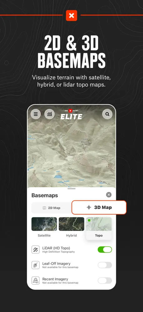
App is great. One thing I’d like to see is 3D offline maps.
360 spin
I pay over 100$ a year for this app to not allow me to spin a 360 to get different angles. A problem I’ve had for a few years. Everyone I know that has this app has the same problem. Fix it.
Incorrect owner and acreage
OnX really needs to update their ownership more often and make sure they are giving the correct information such as acreage. I sent numerous reports that have apparently went unnoticed. I wish that it could be sorted out as my property borders thousands of acres of public land and I don’t want any confusion.
Awesome app, better company!
Have had a couple interactions with customer service and have had outstanding experiences with all of them. They have been incredible and that’s on top of an awesome app with great capabilities!
Everything is $
The free version lets you do absolutely nothing. All you can do is see a map. Not even some of the features are available. Don’t bother.
Good app…keep a back up plan!
Really helps with planning, navigating and learning the hunting area you’re in! I hunt in Northern QC! I was using it when I got my moose this year pretty deep and late, went to get the gear and on the way back to finish dressing it, the App logged out by itself (pockets) at the worst time and couldn’t reconnect without wifi so it’s pretty much the only downfall to me! Even though good old GPS will always be on my side with extra batteries and the compas and map in my bag, I strongly recommend the app!
Old info
Old Info over 3 1/2 years …I checked with County and Title Company…the property is privately owned but app has outdated information in Oregon
Not for guides or professionals
Good app for casual users but will freeze and fail when you need it the most
Buckmaster
Awesome app! If i would have been more familar with the app a few years ago it would have saved me a 3 mile drag of a big northern maine buck,i used it this past hunting season in maine an it saved me along drag! Tv
Garbage app forces you to pay to see states
Garbage app forces you to pay to see states
Was great, not so much now
Use to love this app but now if you dont pay for the sub its not even worth having. That and the price has gone up quite a bit since first downloading the app, i dont need all these “elite” features, i just wanna be able to track my hunts and see property lines thats it, $100 a year and im only able to hunt a little bit of it because of work, just not worth it any more
Good, needs updates
I like the app, disappointing that property lines haven’t been updated in at least 2 years
Works great & great customer service
Always has worked great and accuracy on point. Customer service is helpful and quick
Land ownership not correct
I have reported an error multiple times in the last 5 years for an owner of a large ranch in NM and OnX still has not made the change. I like a lot of the features they provide, but I always double check with other mapping programs when I am near private property to make sure land status is correct. It’s hard to trust OnX when you know they have your wife’s family ranch being owned by someone else.
Good app terrible service
App is great when it’s working. But if you have any issue at all with it, the customer service team will not be helpful at all.
Great app, but excludes data from other onx apps
It feels like a bit of a scam to keep my elite membership while onx requires me to subscribe to another app for off-roading and disbursed camping and another app for fishing and another app for backcountry hiking. Some new competitors are starting to include all layers in a single app and the only reason I’m not changing over is because I don’t want to transfer my personal data and learn a new app. I would not begin using this app today, OnX requiring 4-5 memberships to access all of their data is egregious.
Best hunting app ever
The app is a game changer for hunters everything you need to be successful in one place.
Terrible App
I would not buy this app for any price. You need help with this app -forget it. All rude amateurs. I hate this app and do not recommend to anyone.
Canada
I live in Canada, and when I first downloaded this app, I was honestly really impressed. The graphics and overall quality are great, and it seemed very promising. Before subscribing, the app clearly advertised that I would be able to access hunting maps and land information in Canada. That was a big reason I decided to pay for a yearly subscription. However, after paying, I found out that those features don’t actually exist in Canada. When I contacted support, they confirmed that the maps and land details are not available here. This is extremely misleading. If those features aren’t supported in Canada, they should not be advertised as available on the App Store for Canadian users. I feel disappointed and misled after paying for something that was advertised but not delivered. I hope the developers either fix this or make the limitations much clearer before people subscribe.
Lost Functionality
Many private land owner parcels don’t have names. Which is fine normally. However, you can’t add that property to a hunt area. Which handicaps one of the best features. This is ridiculous. While onX Hunt may not know the land owner names, that doesn’t mean I am not part of a club or have that parcel leased.
Customer service
They have excellent Customer service know what they’re doing. Answer your phone call. Answer your questions. Very happy with them.
Not sure?
I just got the app and after seeing that the only way to use the app is to give them access to so much private information. I’m not sure I want to do that.
No property lines
Gave it a go but the main functionality I wanted - what’s crown land vs private property isn’t working - went online and tried troubleshooting- no love. Will not be renewing subscription.
Love the app
So I’m running into a problem where I sign into this app and the off-road app it won’t let me sine in where nothing has changed. Also on the hunt I just get a blank screen no map will pop up I can’t change the settings on it either. I think it would be cool if there was a family setting to where my mom dad and I could have a family subscription where we all could use the similar settings and see each others pins or share it simply and see each others location on all on x platform.
Customer Service
Customer Service is great, it’s the way all businesses should treat their customers. And the maps are great work everywhere and are a vital part of my scouting.
NOT FREE
I hate these apps that allow you to download them and only after you enter all of your information, you find out that you have to pay for them. Deceitful!
Old images
Imagery in Canada is old. There’s cut blocks over fives years old that don’t show on map. Purchased the Elite version for the updated imagery option and it says unavailable across all of canda. Not worth the price
A+
I used the onX App this fall for bird hunting in off grid areas in both Manitoba and Ontario. It performed flawlessly. With my iPhone attached to my quad I was able to consistently monitor my location while travelling the backcountry roads, and old logging and mining trails. Money well spent, and I highly recommend this product. 5 Star.
Not tech savvy
Had an issue changing maps. Talked with support and had the problem fixed in about 30 seconds. Unbelievable tech support.
App will not recognize my subscription
No matter what troubleshooting I attempt, I cannot get the app to recognize my paid subscription.
Maybe good in some parts on world, not here!!
Im in northern Ontario. Download the app to see lot lines. Main reason for lot lines. Get the free for week. The map is 5 years old saying current(can tell by stuff in my yard). Wont let me see lot lines. Accuracy is dead on, well for out dated map!! Still no lot lines. Not that user friendly. Will be deleting app. Sad as i want an app just for lot lines
A bit to be desired
I’m sure it’s a great platform for USA customers, but it lacks features for Canada like downloadable 3D maps which you can get on iHunter and also a better integration of the hunting regulations. I can’t say I can depend solely on OnX just yet.
Long time user
Recently had need for help from customer support and Natalie did a great job of helping me find the information I needed. I just wish finding Natalie would have been as easy.
Landscape mode
I have an iPad and I don’t understand why I can’t view the app in landscape mode? I have the trout route apps and it can be viewed in landscape. Why can’t this app?
Updated maps in Canada
Most of my hunting spots are dense woods even if they have been clearcutted I even pay for premium and it’s not updated
Poor quality Canadian Map Resolution
Absolutely love this app and all its features, very user friendly. However it would be nice to see some higher quality maps in Canada, Particularly Eastern. Poor resolution makes it difficult to follow paths and trails that are easily identified on higher quality maps.
onX Hunt: GPS Hunting Maps price by country
A monthly subscription costs $10.56 in Canada and $14.99 in the United States — 1.4× more for the same thing. Below is the going rate for each plan in every country that sells it — the middle price of what the app charges there, in the country's own currency with the dollar equivalent beneath it.
| Country | Monthly | Annual |
|---|---|---|
| Canada | CA$14.99$10.56 | CA$49.99$35.20 |
| United States | $14.99 | $49.99 |
onX Hunt: GPS Hunting Maps FAQ
- Is onX Hunt: GPS Hunting Maps free?
- Yes. The app and its basic features are free, in all 2 countries it sells in. Premium features are paid: they start from $14.99 (US), across 6 subscriptions.
- How much does onX Hunt: GPS Hunting Maps cost per month?
- Elite Monthly Membership is $14.99 (US). The annual plan works out cheaper per month: $29.99 – 99.99 a year.
- Does onX Hunt: GPS Hunting Maps have a free trial?
- Yes — a 7 days free trial (US).
- Where is onX Hunt: GPS Hunting Maps cheapest?
- A monthly subscription costs CA$14.99 (≈$10.56) in Canada and $14.99 in the United States, its cheapest and dearest countries.
- What are the best alternatives to onX Hunt: GPS Hunting Maps?
- HuntWise: A Better Hunting App (4.7 from 69,156 reviews, premium from $19.99), LandGlide: Parcel & Field Maps (4.8 from 59,756 reviews, premium from $9.99) and ActiveCaptain® (4.0 from 9,473 reviews, premium from $59.99).
onX Hunt: GPS Hunting Maps download
Last updated 15 days ago.
onX Hunt: GPS Hunting Maps sells in 2 countries. It was released 13 years and 2 months ago, on 7 Aug 2013. It holds a 4.9 rating from 276,768 reviews.
Supports 1 language: English.
How much does onX Hunt: GPS Hunting Maps make?
Third-party estimates for the last 30 days, worldwide — not the store's own figures, which Apple publishes for nobody.
Revenue by plan
- Annual 58%
- Monthly 42%
Revenue by country
- United States 99%
- Canada 1%