
BaseMap: 3D Hunting Maps & GPS
Offline 3D, Parcel Info, LIDAR
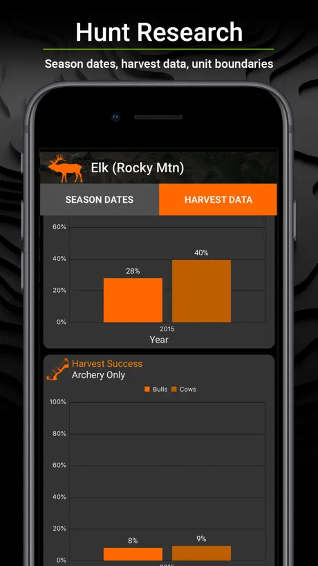
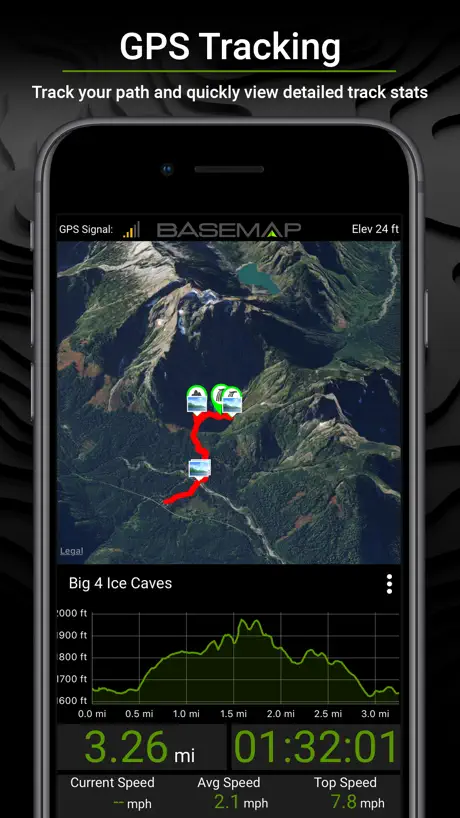
How much does BaseMap: 3D Hunting Maps & GPS cost?
Prices are current as of 4 Oct 2026.
6 subscriptions from $4.99
In the United States, BaseMap: 3D Hunting Maps & GPS has 6 subscriptions priced $4.99 – 99.99.
| Subscription | Period | Price |
|---|---|---|
| Hunt Research | Annual | $9.99 |
| Pro | Monthly | $4.99 – 9.99 |
| Pro | Annual | $39.99 |
| Pro Advantage | Annual | $69.99 |
| Pro Bundle | Annual | $99.99 |
| Pro Ultimate | Annual | $99.99 |
See what BaseMap: 3D Hunting Maps & GPS costs in all 2 countries →
10+ alternatives to BaseMap: 3D Hunting Maps & GPS
| BaseMap: 3D Hunting Maps & GPS | 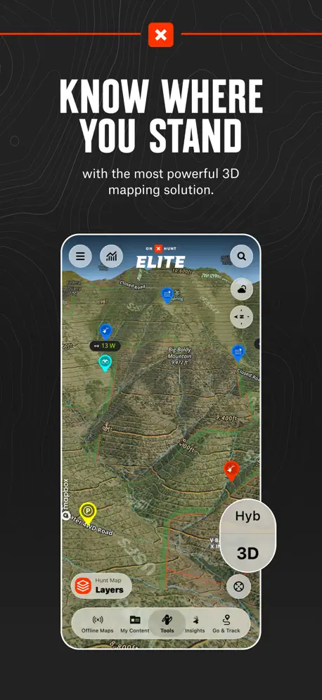  onX Hunt: GPS Hunting Maps onX Hunt: GPS Hunting Maps | 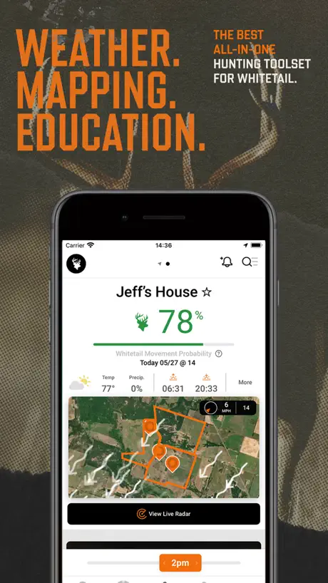  HuntWise: A Better Hunting App HuntWise: A Better Hunting App |   LandGlide: Parcel & Field Maps LandGlide: Parcel & Field Maps |   Topo Maps+: Topographic Maps Topo Maps+: Topographic Maps |   GOHUNT: Research & Maps GOHUNT: Research & Maps |   Hunting Points: GPS & Hunt App Hunting Points: GPS & Hunt App |   Track N Trail - Hunting & Maps Track N Trail - Hunting & Maps |   i-Hunting : GPS Maps App i-Hunting : GPS Maps App |   Deer Hunters MoonGuide 3.0 Deer Hunters MoonGuide 3.0 |   Spartan Forge: Hunt Spartan Forge: Hunt | |
|---|---|---|---|---|---|---|---|---|---|---|---|
| Rating / 5 | 4.6 | 4.9 | 4.7 | 4.8 | 4.7 | 4.8 | 4.6 | 4.8 | 4.4 | 4.7 | 4.3 |
| Reviews | 9.4K | 277K | 69K | 60K | 13K | 8.6K | 8.2K | 2.7K | 1.6K | 1K | 625 |
| Released | 2018 | 2013 | 2013 | 2014 | 2013 | 2021 | 2018 | 2025 | 2018 | 2020 | 2021 |
| Monthly price | $4.99 | $14.99 | $19.99 | $9.99 | — | — | $5.99 | — | — | $24.99 | — |
| Annual price | $39.99 | $49.99 | $59.99 | $99.99 | $59.99 | $169.99 | $29.99 | $39.99 | — | $24.99 | — |
The going rate for each plan in United States, in its own currency, shaded from the cheapest price on the row to the dearest. Plans fewer than four in ten of the priced apps sell are left out.
BaseMap: 3D Hunting Maps & GPS reviews
4.6 out of 5, based on 9,402 reviews.
What people like
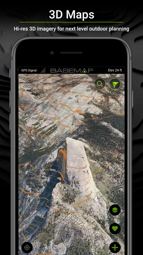
- Detailed 3D maps look great
- Easy to use interface
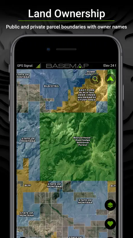
- Good for checking land ownership
What they complain about
- Keeps crashing when you open it
- Support never actually helps
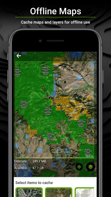
- Offline maps often fail to load
- Markers disappear or won't save
Amazing
I love using the app. Have several apps of this nature. Unfortunately I don’t pay for the pro because I use other maps as well. Maybe I will. We will see.
sneaky & underhanded updates
you used to be able to download 1 offline map at a time with a free account, but after i opened basemap recently it wouldn't let me redownload my offline map. when i tried, a little button popped up that said "update map: your offline map requires a small update to keep it accurate!" when i clicked that button, the map was instantly deleted, and it will not let me redownload it without a paying account. i have no problems with apps costing money, but marketing it as if there is a free option and then doing sneaky rollbacks like that undermines all integrity and trust.
Driving Directions
I honestly prefer BaseMap out in the field but the lack of driving directions moved me to use Onyx. Did you by chance put driving directions to waypoints in the update?
Offline markers fail miserably
I made several markers on my laptop and tested them on the phone before heading out into the back country. Long story short, they didn’t show up when I got out there and I had to call via satellite phone for help. I asked for a refund and they never processed it. Now a year later they charged me again for a subscription and refused to refund it but cancelled me anyway. Just use On X.
Not getting what im paying for
I wont be renewing my subscription because most of the time it wont give me land owner details that i pay to be able to see. And then on top of that the price went up so im done with this app. If it wasnt for that it would be fine but i feel like im getting ripped off when try as i might it only rarely randomly grants me the knowledge i seek and paid for
For real estate too!
Used it when shopping for my new home with a small amount of land - highly effective.
Layers Tab
The layers tab is in one of the worst spots possible on the screen causing me to inadvertently hit it when Im maneuvering on the screen.
Best
Graphics and public access easily accessible, with definition to zoom for different types of topography.
Land owners are not accurate
I’ve had this app for years and enjoyed it. But the land maps have not refreshed in a year or so. That’s pretty annoying.
App is buggy sometimes
I love BaseMap and been using for a while yet it still continues to kick me out of the app and makes me relog in multiple times a use. The only reason I haven’t went to OnX is it’s slightly more expensive and I have to redo my markers.
Outdoors men
App is great use it for everything weather wind propertie lines
Broken app
Please re update the app. It won’t even open up. I’ll give it a week before I delete the app and go to an app that works. Locked out of my account goodbye.
BaseMap: Hunting GPS
App works great as long as you have very good reception. If you have a weak reception and try to go offline, the App locks up often and would even kick me out. Then I couldn’t log back in either to use offline maps. Luckily I had OnX app stalled as well, because that app worked flawlessly with same level of reception.
Land ownership Boundaries not up to date
I like to use the Land Ownership for Boundaries. In my case here in Southeast Mo I reported the App was wrong and not updated and got a response. Gary, We last received an update for Stoddard county December of 2024. I passed this on to our GIS team to see if they can contact our provider about his county to see when we'll get an update for this county. Sincerely, BaseMap Support Team
Maps
Need better 3D to show more detail when zoomed in
Lots of features. Great for being in the outdoors!
I’ve been using BaseMap for several years, for hunting and scouting for elk season and for planning and tracking my hikes. There are some really great features including a variety of map views and many great overlays to help you locate exactly what you’re looking for. I like that the markers have been updated with a lot of different icons and colors that help me keep things organized at a glance. The offline maps download quick and have always performed well when not in service. The BaseMap interface is easier to use than other apps as well. Features are easy to find and use.
Terrible
Have had this app for 3 years and now locked out and wanting me to create a new account. Apple login doesn’t work
Fix
All good but fix the GPS and location. I always have trouble finding out where I am.
Bad
I've been trying to access my app for 3 days and it won't let me log in, just when the deer hunt starts 😡
Offline
Have to close out the app a lot when offline. It's blurry can't see the lines for the maps that are saved and downloaded.
Best leaf off imagery
BaseMap is solid and has the best leaf off imagery of my hunting region.
Love the app
I loved it until I didn't. Support is non existent and they cannot fix the bugs. They add features, but it just makes things worse. Map layers is a cool thing but when it be one so slow as to be unusable it's no longer cool. This app has the perfect UI. I love it. But the company failed to make it work well. The new LiDar sucks. They say coverage is in here where it's available. It's not. OnX has it and it's responsive. Fast. This one. Slow as molasses to even show up and then only partial coverage. I've waited all season with them saying it'll get fixed. Absolutely nothing has changed. If I could get a refund I would. Don't buy this. Get something that works. FYI that's any other app.
Search button
They updated the search feature. Now, mine doesn’t work. I’ve emailed them. With a quick response. But, nothings changed. Frustrating. Love the app. I use it frequently from being a first responder to searching trails to tide.
Trial before you committ
Not able to try upgrade functions prior to purchase, not fond of having to request refund when options don’t work correctly.
Great app not for Canada yet
Like the app a lot, only downfall is the lack of Canadian inclusion in all of the features mainly the hunting portion. Satellite views are nice but dated for Canada. Buildings that are removed still show on rural properties.
Spartacus
I absolutely love this version 7 update! The 3-D maps are super cool. I also really like speed improvements, particularly of the offline maps
OnX is better
I have been using Base Maps for several years. This is the last time I will use it. If I don’t have service, it won’t even open the app. This is a hunting app, most places I hunt don’t have phone service. Even when I download a map with layers to use offline, the map rarely loads correctly. I’m currently looking at the map to decide where to hunt tomorrow and none of my markers are showing up on the map. I currently have full phone service. This app is not worth the money anymore
Solid app
I’ve used this hunting, hiking and general exploring with good success. Mostly used in Canada so I wish the layer availability carried north of the border as well. The only reason for not providing a 5-star review is due to some intermittent bugginess when saving waypoints
More buggy lately
I’ve been a big fan of this app for several years now. Good functionality and usability for analyzing terrain for hunting and for other purposes. Deducting a couple stars because in the last year it has had several catastrophic issues. One was just several layers not working properly. Had to uninstall and re-install, losing all my marked locations in the process, but it did fix the issue with the layers not showing. It also has dropped location markers on the day my plan auto-renews. And just the last few weeks it has stopped working entirely. Crashes upon opening every time. It’s up to date, phone is up to date, tried restarting the phone, shut down and power up, etc, nothing seemed to fix it. So about to uninstall and reinstall again. And probably lose all my markers again. This is the third strike, so likely switching to OnX or Caltopo, or Gaia, after this.
No Love for Canada
Looks like a pretty solid app if you live in the US.... most of the map layers and features don’t work for Canada though.... GAIA it is....
Awesome app
An amazing amount of detail and features. Worth every penny. Cheaper than others and just as much detail.
App just keeps crashing
I used the pro version of basemap for about 4 years and really liked it. Over the last year or probably more the app has been unusable. It opens for a brief second the crashes over and over. My wife, and good friend also have crashing issues. Had no choice but to use other hunting apps.
Question
Not a review more a question. Does the pro version have landownership and crow land for Canada
Search issues
Putting addresses in the search bar and will NOT pull up that address. Was a 5 star every since last update quit working now 1-2 star
Use App for Land Nav courses
I use this app to double check land nav lanes. We teach Land Nav using GPS, Maps and dead reckoning with compasses. This app allows me to quickly do a second verification within minutes.
Subscriptions
I upgraded my subscription on Friday night Saturday at lunch time I emailed BaseMap because I couldn’t access layers of map I paid to upgrade to. It is now Monday and still haven’t got a response and still can not use what I paid for and my hunt is over that I wanted it for. So basically $40 for nothing
East kootenay bc
App has some vary important features that can be use to put a stalk on a animal or to find a animal after it has been dispatched. The app is also vary easy to use. What is needed is a little more Canadian content and the app would be perfect.
App
Great hunting app
App 6.1.3
Complete garbage
Grate app
I hope that soon the property’s and land management will be coming to Canada soon
Best out there
Way batter than the one that ends in an X!
Kicks out and lags
Have had all for 4 years and now it kicks me out and I have to delete it and download it back every couple months. I am gonna go with something new soon as it works again and I recover points
Great tool very very helpful
Great for hunter
BaseMap: 3D Hunting Maps & GPS price by country
A monthly subscription costs $4.57 in Canada and $4.99 in the United States — 1.1× more for the same thing. Below is the going rate for each plan in every country that sells it — the middle price of what the app charges there, in the country's own currency with the dollar equivalent beneath it.
| Country | Monthly | Annual |
|---|---|---|
| Canada | CA$6.49$4.57 | CA$49.99$35.20 |
| United States | $4.99 | $39.99 |
BaseMap: 3D Hunting Maps & GPS FAQ
- Is BaseMap: 3D Hunting Maps & GPS free?
- Yes. The app and its basic features are free, in all 2 countries it sells in. Premium features are paid: they start from $4.99 (US), across 6 subscriptions.
- How much does BaseMap: 3D Hunting Maps & GPS cost per month?
- Pro is $4.99 – 9.99 (US). The annual plan works out cheaper per month: $9.99 – 99.99 a year.
- Does BaseMap: 3D Hunting Maps & GPS have a free trial?
- No. None of its offers (US) come with a free trial.
- Where is BaseMap: 3D Hunting Maps & GPS cheapest?
- A monthly subscription costs CA$6.49 (≈$4.57) in Canada and $4.99 in the United States, its cheapest and dearest countries.
- What are the best alternatives to BaseMap: 3D Hunting Maps & GPS?
- onX Hunt: GPS Hunting Maps (4.9 from 276,768 reviews, premium from $14.99), HuntWise: A Better Hunting App (4.7 from 69,156 reviews, premium from $19.99) and LandGlide: Parcel & Field Maps (4.8 from 59,756 reviews, premium from $9.99).
BaseMap: 3D Hunting Maps & GPS download
Last updated 9 days ago.
BaseMap: 3D Hunting Maps & GPS sells in 2 countries. It was released 8 years and 5 months ago, on 22 Apr 2018. It holds a 4.6 rating from 9,402 reviews.
Supports 1 language: English.
How much does BaseMap: 3D Hunting Maps & GPS make?
Third-party estimates for the last 30 days, worldwide — not the store's own figures, which Apple publishes for nobody.
Revenue by plan
- Annual 69%
- Monthly 31%
Revenue by country
- United States 98%
- Canada 2%