
Avenza Maps: Offline Mapping
GPS Navigation & Trail Maps
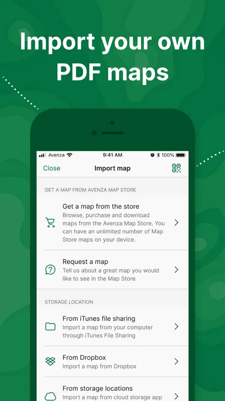
How much does Avenza Maps: Offline Mapping cost?
Prices are current as of 7 Oct 2026.
2 subscriptions from $34.99
In the United States, Avenza Maps: Offline Mapping has 2 subscriptions priced $34.99 – 169.99. It comes with a 1 month free trial.
| Subscription | Period | Price |
|---|---|---|
| Avenza Maps Plus | AnnualTrial: 1 month | $34.99 |
| Avenza Maps Pro | AnnualTrial: 1 month | $169.99 |
8 one-time purchases from $0.99
In the United States, Avenza Maps: Offline Mapping has 8 one-time purchases priced $0.99 – 11.99.
| Product | Price |
|---|---|
| BaseImage, LLC Map Product | $0.99 |
| Forest Service Topo Product | $0.99 |
| Garmin Tier 1 | $0.99 |
| Map the Xperience Map Product | $4.99 |
| US Forest Service R4 Product | $4.99 |
| US Forest Service R5 Map Product | $4.99 |
| US Forest Service R6 Product | $4.99 |
| National Geographic Map Product | $11.99 |
See what Avenza Maps: Offline Mapping costs in all 175 countries →
10+ alternatives to Avenza Maps: Offline Mapping
| Avenza Maps: Offline Mapping |   Gaia GPS: Mobile Trail Maps Gaia GPS: Mobile Trail Maps | 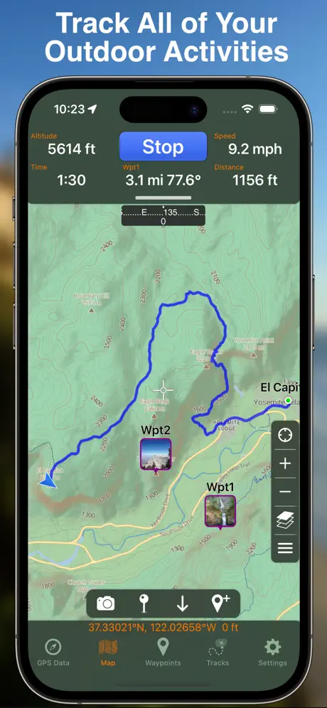  GPS Tracks GPS Tracks | 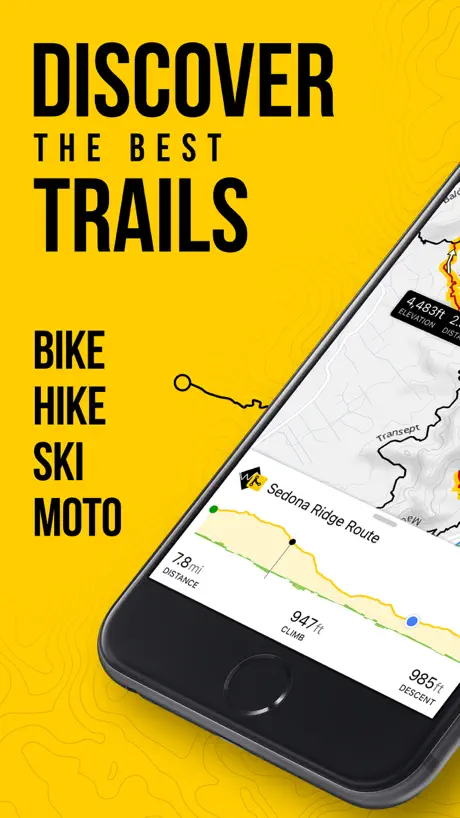  Trailforks: Offline Bike Maps Trailforks: Offline Bike Maps |   FarOut: Hike, Bike, Paddle FarOut: Hike, Bike, Paddle |   onX Offroad: Trail Maps & GPS onX Offroad: Trail Maps & GPS |   iOverlander iOverlander |   Topo Maps+: Topographic Maps Topo Maps+: Topographic Maps |   CalTopo: Backcountry Mapping CalTopo: Backcountry Mapping |   onX Backcountry: 3D Trail Maps onX Backcountry: 3D Trail Maps |   Garmin Explore™ Garmin Explore™ | |
|---|---|---|---|---|---|---|---|---|---|---|---|
| Rating / 5 | 4.7 | 4.7 | 4.7 | 4.7 | 4.8 | 4.7 | 4.4 | 4.7 | 4.8 | 4.7 | 4.0 |
| Reviews | 251K | 43K | 37K | 33K | 30K | 22K | 19K | 13K | 8.4K | 6.6K | 4.3K |
| Released | 2010 | 2017 | 2011 | 2015 | 2013 | 2019 | 2024 | 2013 | 2019 | 2020 | 2018 |
| Monthly price | — | — | — | — | $15.00 | $14.99 | $9.99 | — | — | $14.99 | — |
| Annual price | $34.99 | $71.90 | $29.99 | $53.90 | — | $34.99 | $59.99 | $59.99 | — | $49.99 | — |
The going rate for each plan in United States, in its own currency, shaded from the cheapest price on the row to the dearest. Plans fewer than four in ten of the priced apps sell are left out.
Avenza Maps: Offline Mapping reviews
4.7 out of 5, based on 250,891 reviews.
What people like
- Works perfectly offline
- GPS tracking is accurate
- Easy to use interface
What they complain about
- Free version now useless
- CarPlay support is missing
- Customer support never helps
McKenzie River Ranger map
It’s been very helpful in finding the hiking trails we’ve been wanting to go on
WARNING
Don’t upload your own maps, especially if you have a free account. -There’s no way to “activate” inactive maps, whatever that means. -Free accounts can’t export. -Coordinates are unavailable (seems like a safety issue). Effectively, the map isn’t yours. Not sure why anyone would use Avenza anymore.
OZARK mountains
Map is just about on the spot. There is a bunch of trails that my Garmin showed that this did not But it did give me good gps assistance with the tracking vary on the spot when I was looking for my next trail.
Not really impressed
I have been using the app on my phone and it worked ok. I want to use it on my iPad since the screen is larger but it has no data service only WiFi. I am not using this for commercial purposes and I dislike that it requires a pro upgrade to use an external. I can’t really recommend it over the other products that are available.
Good but could be better
It was nice showing trails and everything but I wish it showed public and private property
Better than I ever imagined
Extremely easy to use and very accurate!
Useless now
Avenza used to be great, but now they lock virtually every feature behind a very expensive paywall and now it is barely worth using
Functional app, albeit with pricy plans.
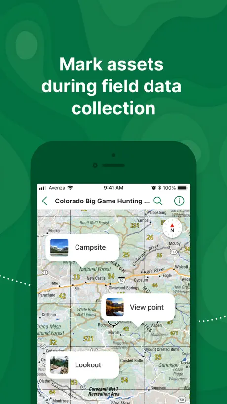
Started using Avenza Maps for personal use about 12 years ago after using it on the job for environmental field work and site visits. Overall, a very functional app with a lot more features than I need for personal use. It’s unfortunate that you’re unable to interact on a desktop with the map layers (features/points/lines) that get created on my phone. It’s clunky to organize these layers on the phone app, tbh, and hard to tell which map sheets the layers are connected to if the map set gets updated (i.e., Back Roads Map Books). Perhaps there’s a way and I just can’t find the right user guide for this. My one other minor gripe, which would be easily fixable, is to add a Campsite icon/symbol to the placemark list! I’ve written to Avenza twice in the last 5 years to provide this feedback (and I bet I’m not the only one) , but no action. Seriously now - there’s a WiFi icon but no campsite icon? I end up using a specific coloured pin, which is fine, but it makes me think there’s no one on the Blue Marble dev team because a dedicated icon seems like a no-brainer and low effort resolution to an improvement suggested by a long-term customer. Other than that, I enjoy using Avenza and their map library is extensive.
Map limit bad for backpacking
The new subscription structure is really hostile. I actually paid because I don’t mind supporting the application a bit. However, the limit to maps you can import is 10. This is completely arbitrary and hostile to users. The problem is that hikers who prepare maps in Garmin or CalTopo typically have a few pages of maps in a pdf and these all count as separate maps. You can’t import a pdf with more than 10 pages of maps now. Remove this ridiculous limit and maybe people would actually be willing to pay.
Updated map limits
This app has been great for so long, but the recent changes to custom map import limits is making me look for alternative apps.
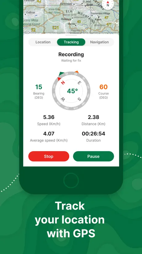
Offline Tracking
The value of GPS tracking while offline is very valuable. Especially for pinpointing our location for potential SOS calls.
Absolute degenerate move from Avenza
I’ve been using Avenza for 6 years as a wildland firefighter and now they won’t even let you use one map upload without paying their absurd subscription fee I think gouging firefighters says all you need to know. I’ll be finding another alternative
Great
I love it
Functional sort of
Terrible user interface. If you’re really patient and don’t mind unnecessarily complicated steps to make field notes and edits you may find this app to be ok. It does the job but does so in a very inefficient manner. This is magnified while in the field and dealing with less than ideal environmental conditions.
Used to be better
As a wildland fire safety officer, I used to be able to download custom maps with the free version. Now, I can’t so I’m forced to purchase a plan. The wildland fire community is being pushed into using Field maps, and I may eventually go that route, too.
Where has the app been my whole life!
This app is amazing, and free!!! I would say one of the best apps out there.
Doesn’t work
They take my money, but don’t provide tech support when it doesn’t work.
Pay to download base map?!!!
Was so great but seriously now you want us to pay to download offline regions of the basemap? Genuinely disappointing.
Tidak ada update peta satelit
Peta satelit pada Avenza Maps tidak pernah melakukan Update terkini sudah hampir 10 thn. Kami pengguna merasa kesulitan menggunakan peta ukur karna tidak bisa menggambukan poligon di peta ukur dan citra satelit menilik avenza karna tidak adanya update peta citra satelit. Perubahan pada gambar satelit terbaru sangat berpengaruh pada pekerjaan kami. 😩 sepertinya haru mengganti aplikasi lain.!
Too pricey
Great app and extremely useful. I started using Avenza as a forestry worker when they offered a few free map uploads per year, but since changing their subscription policy and pricing I have switched to a different platform that at least offers a cheaper subscription and unlimited uploads
Agroservi san Antonio
Altimetría
Used to be great
I have not used Avenza for several months and when I went to use it they had changed the 3 free interactive maps version to requiring a subscription service for any interactive maps. Very frustrating given how little I actually use it for trail navigation. I’ve just begun looking for alternatives!
Good app
The way you can share map could be improved, deeplink is not user friendly
Hostile takeover
Avenza has recently been taken over by Blue Marble. We have used Avenza for years as a volunteer search and rescue organisation. Since we are 100% self funded each individual pays all expenses so having access to a free quality app was great even though the free version came with limitations (which is fair enough). Recently we were activated by our state police and found out the hard way that Avenza has removed all free functionality completely. Very disappointing and this seems to be a direct result of the takeover. Shame…
Good start
This app is good with a great variety of maps. This could be an awesome app if it worked on CarPlay. This has been asked for, for years now, I don't understand the delay. I have spent $100,s on maps only to have to use other apps to track my location. There are literally thousands of requests for this to be added to CarPlay
Denali NP USGS Big Help
Used USGS download for Denali NP backcountry. Really helped us cross-check our position couple times.
Junk
20 uploads a year is insane not worth the money
Undo Button Needed
If possible, adding an undo button would be amazing. Also, if you could edit lines and polygon vertices after they have been placed that would be amazing
problem
katanya maksimal 3 peta pdf yang dapat diimpor? kenapa punya saya sudah tidak bisa meskipun file peta diavenza sudah dikosongkan semua? tolong solusinya, yang ada malah disarankan untuk upgrade ke premium padahal penggunaannya hanya untuk belajar yang bersifat sementara, terima kasih.
Disappointed.
They restricted the free version recently and this is so sad to see. Especially for what it is.
Great maps
Use them when out in the forest
Ridiculous
Changes of these now charges are ridiculous. How are you gonna charge first responders and limit them from 3 maps to none?! When they’re helping save communities, life etc!
Drop outs
Has anyone had constant drop outs when trying to record a track (i.e. tracking / record track mode while on base maps )
$60 a year to view a map
There are cheaper alternatives that do the same job but with far superior options and functionality. Keep looking for products like pocket earth.
Money grabbing
The app has been good, but their decision to remove your ability to view a custom map on the free plan and forcing you into their subscription service is just a money grab. Shame!
Good
Good
Ignis
Pretty disappointing Avenza! Flat Backin Baggers! There’s a Different one called Ignis it’s free, just started using it on the Egypt & Second Flat fire. Works decent so far, you can track, drop pins, see the past 25 years of previous Wildfires, a bunch of cool layers you can use! And hold more than 3 maps at a time🍻
Works great but paid plans are unaffordable
Avenza Maps is great for offline orientation in areas with little or no phone reception, it uses your phone’s built-in GPS and any georeferenced maps you can load on it. The free version only allows one to have three maps loaded, which feels quite restrictive. I’d be very happy to pay to support them, but the paid versions are clearly aimed at enterprise markets and are hard to justify for an individual hobbyist. If it were not for this I would give it 5 stars.
Error
Tracking sering hilang Ploting photo tidak bisa dilakukan Hal ini mai terjadi dari awal april 2026
Ok but not as good as oziexplorer
I have been using both Avenza and oziexplorer from many years. Avenza is ok but I find it user interface is nowhere nears as good as oziexplorer of off road navigation.
So easy!
Thank you Avenza for making it easy to upload .pdf maps and follow them in my map app with a blue dot!
Worst customer service
I upgraded to Plus four days ago. I immediately tried to import a georeferenced custom map. I got a notice that I had already exhausted my quota (on the first try!). I’ve been trying to contact customer service since, but they’re impossible to reach. You can’t talk to a human.
Only 1 bug
Good app, only bug is when naming a track it seems to delete your text when typing it in
Getting worst
The latest models are even more complicated and often bug
Visualização direta do nome dos pontos
Última atualização ficou muito ruim. O nome do ponto só aparece qdo clicamos especificamente sobre o mesmo. Para Achar um ponto no mapa tenho q clicar em todos até descobrir oq eu preciso
جميل
جميل
Greedy
Avenza got greedy and firefighters no longer can use this tool unless they pay Avenza’s ransom. Deleted from my phone!
CarPlay????
Like most/all mapping apps, no CarPlay support. Far out. How is this not an option ? Otherwise this app is great. Have tried most. Hema was leading the way but dropped the ball. Support is good and quick when needed. CarPlay please. I suspect 90% of users would want this basic functionality.
Tem melhores
A última versão restringiu a quantidade de arquivos a serem baixados. Além disso, o app só funciona bem com arquivos previamente georreferenciados. O AppleStore tem apps melhores que nos possibilitam georreferenciá-los na hora.
versão plus - pagamento
paguei a versão plus, mas não está liberando os mapas
Avenza Maps: Offline Mapping price by country
A one-time purchase costs $1.19 in China and $13.13 in Kazakhstan — 11× more for the same thing. Below is the going rate for each plan in every country that sells it — the middle price of what the app charges there, in the country's own currency with the dollar equivalent beneath it.
| Country | Annual | One-time |
|---|---|---|
| Afghanistan | — | $9.99 |
| Albania | — | $6.99 |
| Algeria | — | $9.99 |
| Angola | $34.99 | $9.99 |
| Anguilla | — | $9.99 |
| Antigua And Barbuda | — | $7.99 |
| Argentina | $17.49 | $4.99 |
| Armenia | — | $4.99 |
| Australia | A$59.99$41.66 | A$2.99$2.08 |
| Austria | €39.99$44.83 | €3.99$4.47 |
| Azerbaijan | — | $11.99 |
| Bahamas | $19.99 | $9.99 |
| Bahrain | — | $9.99 |
| Barbados | — | $11.99 |
| Belarus | — | $11.99 |
| Belgium | €39.99$44.83 | €5.99$6.72 |
| Belize | $17.49 | $9.99 |
| Benin | — | $11.99 |
| Bermuda | — | $9.99 |
| Bhutan | — | $9.99 |
| Bolivia | $17.49 | $5.99 |
| Bosnia & Herzegovina | €39.99$44.83 | €9.99$11.20 |
| Botswana | $34.99 | $9.99 |
| Brazil | R$99.90$19.90 | R$22.90$4.56 |
| British Virgin Islands | — | $9.99 |
| Brunei Darussalam | — | $9.99 |
| Bulgaria | — | €5.99$6.72 |
| Burkina Faso | — | $5.99 |
| Cambodia | $39.99 | $4.99 |
| Cameroon | — | $6.99 |
| Canada | CA$49.99$34.96 | CA$5.49$3.84 |
| Cape Verde | — | $9.99 |
| Cayman Islands | — | $9.99 |
| Chad | — | $9.99 |
| Chile | CLP 14,990$15.16 | CLP 5,990$6.06 |
| China | CN¥228.00$33.98 | CN¥8.00$1.19 |
| Colombia | COP 79,900$24.32 | COP 24,900$7.58 |
| Congo | — | $11.99 |
| Congo, Democratic Republic | — | $9.99 |
| Costa Rica | $17.49 | $6.99 |
| Cote Divoire | $34.99 | $11.99 |
| Croatia | €39.99$44.83 | €3.99$4.47 |
| Cyprus | €199.99$224.20 | €5.99$6.72 |
| Czech Republic | CZK 999.00$45.80 | CZK 199.00$9.12 |
| Denmark | DKK 299.00$44.83 | DKK 19.00$2.85 |
| Dominica | — | $9.99 |
| Dominican Republic | $17.49 | $4.99 |
| Ecuador | $17.49 | $3.99 |
| Egypt | EGP 1,199.99$22.89 | EGP 499.99$9.54 |
| El Salvador | $17.49 | $9.99 |
| Estonia | €39.99$44.83 | €4.99$5.59 |
| Fiji | $34.99 | $9.99 |
| Finland | €39.99$44.83 | €5.99$6.72 |
| France | €39.99$44.83 | €7.99$8.96 |
| Gabon | — | $9.99 |
| Gambia | — | $9.99 |
| Georgia | — | $11.99 |
| Germany | €39.99$44.83 | €1.99$2.23 |
| Ghana | $39.99 | $5.99 |
| Greece | €39.99$46.50 | €8.99$10.45 |
| Grenada | — | $9.99 |
| Guatemala | $17.49 | $4.99 |
| Guinea-bissau | — | $9.99 |
| Guyana | $17.49 | $9.99 |
| Honduras | $17.49 | $9.99 |
| Hong Kong | HK$288.00$36.69 | HK$32.00$4.08 |
| Hungary | HUF 14,990$45.74 | HUF 3,490$10.65 |
| Iceland | $39.99 | $9.99 |
| India | ₹3,499.00$36.30 | ₹499.00$5.18 |
| Indonesia | IDR 179,000$10.00 | IDR 39,000$2.18 |
| Iraq | $34.99 | $9.99 |
| Ireland | €39.99$44.83 | €7.99$8.96 |
| Israel | ₪119.90$39.31 | ₪25.90$8.49 |
| Italy | €39.99$44.83 | €5.99$6.72 |
| Jamaica | — | $5.99 |
| Japan | — | ¥600$3.80 |
| Jordan | — | $9.99 |
| Kazakhstan | KZT 17,990.00$39.43 | KZT 5,990.00$13.13 |
| Kenya | $39.99 | $5.99 |
| Kosovo | — | €9.99$11.20 |
| Kuwait | $34.99 | $9.99 |
| Kyrgyzstan | — | $9.99 |
| Lao Peoples Democratic Republic | $34.99 | $9.99 |
| Latvia | €39.99$44.83 | €4.99$5.59 |
| Lebanon | — | $5.99 |
| Liberia | — | $9.99 |
| Libya | — | $9.99 |
| Lithuania | €39.99$44.83 | €4.99$5.59 |
| Luxembourg | €39.99$44.83 | €6.99$7.84 |
| Macao | — | $9.99 |
| Macedonia | $34.99 | $9.99 |
| Madagascar | $169.99 | $9.99 |
| Malawi | — | $9.99 |
| Malaysia | MYR 149.90$36.65 | MYR 19.90$4.87 |
| Maldives | — | $9.99 |
| Mali | $34.99 | $9.99 |
| Malta | — | €9.99$11.20 |
| Mauritania | — | $3.99 |
| Mauritius | $34.99 | $6.99 |
| Mexico | MX$399.00$22.03 | MX$129.00$7.12 |
| Micronesia | — | $9.99 |
| Moldova | — | $11.99 |
| Mongolia | $34.99 | $9.99 |
| Montenegro | — | €5.99$6.72 |
| Montserrat | — | $9.99 |
| Morocco | — | $11.99 |
| Mozambique | $34.99 | $9.99 |
| Myanmar | — | $9.99 |
| Namibia | $34.99 | $4.99 |
| Nauru | — | $9.99 |
| Nepal | $34.99 | $11.99 |
| Netherlands | €39.99$44.83 | €6.99$7.84 |
| New Zealand | NZ$59.99$33.51 | NZ$3.99$2.23 |
| Nicaragua | $17.49 | $5.99 |
| Niger | $169.99 | $9.99 |
| Nigeria | NGN 29,900.00$22.46 | NGN 6,900.00$5.18 |
| Norway | NOK 449.00$46.82 | NOK 29.00$3.02 |
| Oman | $34.99 | $9.99 |
| Pakistan | PKR 9,900$35.73 | PKR 2,900$10.47 |
| Palau | $34.99 | $9.99 |
| Panama | $17.49 | $5.99 |
| Papua New Guinea | — | $9.99 |
| Paraguay | $17.49 | $5.99 |
| Peru | PEN 69.90$20.32 | PEN 22.90$6.66 |
| Philippines | ₱1,990.00$31.77 | ₱249.00$3.98 |
| Poland | PLN 199.99$51.15 | PLN 14.99$3.83 |
| Portugal | €39.99$44.83 | €1.99$2.23 |
| Qatar | QAR 129.99$35.71 | QAR 39.99$10.99 |
| Romania | RON 199.99$42.01 | RON 14.99$3.15 |
| Russia | RUB 2,990.00$35.04 | RUB 349.00$4.09 |
| Rwanda | — | $9.99 |
| Sao Tome & Principe | — | $9.99 |
| Saudi Arabia | SAR 149.99$40.00 | SAR 17.99$4.80 |
| Senegal | $34.99 | $6.99 |
| Serbia | €39.99$44.83 | €5.00$5.61 |
| Seychelles | — | $9.99 |
| Sierra Leone | $34.99 | $9.99 |
| Singapore | SGD 49.98$39.05 | SGD 2.98$2.33 |
| Slovakia | €39.99$44.83 | €4.99$5.59 |
| Slovenia | — | €2.99$3.35 |
| Solomon Islands | — | $9.99 |
| South Africa | ZAR 699.99$42.04 | ZAR 59.99$3.60 |
| South Korea | ₩49,000$36.49 | ₩6,600$4.92 |
| Spain | €39.99$44.83 | €1.99$2.23 |
| Sri Lanka | $34.99 | $9.99 |
| St. Kitts and Nevis | — | $9.99 |
| St. Lucia | — | $9.99 |
| St. Vincent & The Grenadines | — | $9.99 |
| Suriname | $17.49 | $9.99 |
| Swaziland | $34.99 | $9.99 |
| Sweden | SEK 499.00$49.70 | SEK 27.00$2.69 |
| Switzerland | CHF 35.00$42.12 | CHF 6.00$7.22 |
| Taiwan | NT$1,190.00$37.43 | NT$170.00$5.35 |
| Tajikistan | — | $9.99 |
| Tanzania | TZS 99,900.00$37.82 | TZS 29,900.00$11.32 |
| Thailand | THB 1,290.00$38.29 | THB 149.00$4.42 |
| Tonga | — | $9.99 |
| Trinidad and Tobago | $17.49 | $9.99 |
| Tunisia | — | $9.99 |
| Turkey | TRY 1,299.99$26.44 | TRY 149.99$3.05 |
| Turkmenistan | — | $9.99 |
| Turks and Caicos | — | $9.99 |
| Uganda | $39.99 | $11.99 |
| Ukraine | $39.99 | $9.69 |
| United Arab Emirates | AED 129.99$35.42 | AED 14.99$4.08 |
| United Kingdom | £34.99$46.28 | £6.99$9.25 |
| United States | $34.99 | $4.99 |
| Uruguay | $17.49 | $4.99 |
| Uzbekistan | $39.99 | $9.99 |
| Vanuatu | — | $9.99 |
| Venezuela | $17.49 | $9.99 |
| Vietnam | ₫999,000$38.47 | ₫129,000$4.97 |
| Yemen | — | $9.99 |
| Zambia | $34.99 | $11.99 |
| Zimbabwe | $39.99 | $11.99 |
Avenza Maps: Offline Mapping FAQ
- Is Avenza Maps: Offline Mapping free?
- Yes. The app and its basic features are free, in all 175 countries it sells in. Premium features are paid: they start from $34.99 (US), across 2 subscriptions and 8 one-time purchases.
- Does Avenza Maps: Offline Mapping have a free trial?
- Yes — a 1 month free trial (US).
- Where is Avenza Maps: Offline Mapping cheapest?
- A one-time purchase costs CN¥8.00 (≈$1.19) in China and KZT 5,990.00 (≈$13.13) in Kazakhstan, its cheapest and dearest countries.
- What are the best alternatives to Avenza Maps: Offline Mapping?
- Gaia GPS: Mobile Trail Maps (4.7 from 43,076 reviews, premium from $19.99), GPS Tracks (4.7 from 37,397 reviews, premium from $2.99) and Trailforks: Offline Bike Maps (4.7 from 33,346 reviews, premium from $17.99).
Avenza Maps: Offline Mapping download
Last updated 1 month ago.
Avenza Maps: Offline Mapping sells in 175 countries. It was released 16 years ago, on 19 Sept 2010. It holds a 4.7 rating from 250,891 reviews.
Supports 12 languages: English, Danish, French, German, Indonesian, Italian, Japanese, Portuguese, Russian, Chinese, Spanish, Swedish.
How much does Avenza Maps: Offline Mapping make?
Third-party estimates for the last 30 days, worldwide — not the store's own figures, which Apple publishes for nobody.
Revenue by plan
- One-time 59%
- Annual 41%
Revenue by country
- United States 62%
- Canada 19%
- Australia 10%
- Brazil 1%