
DroneDeploy Flight App
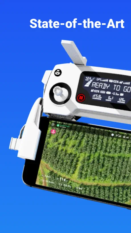
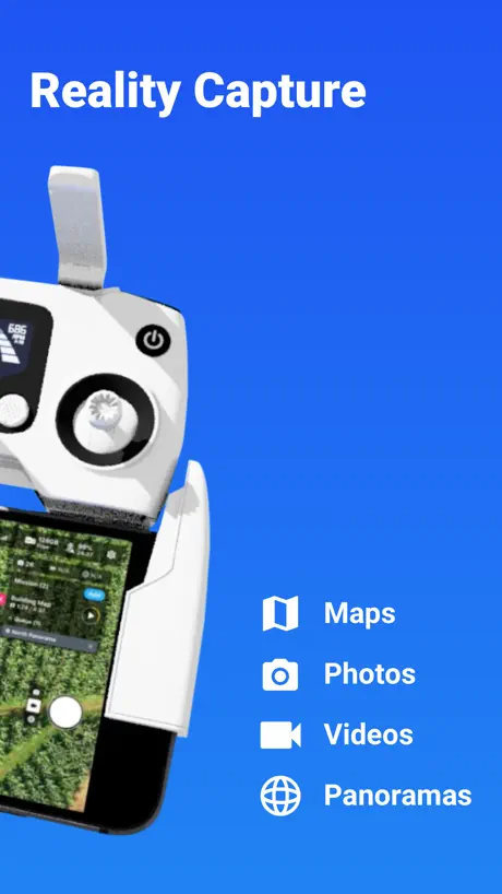
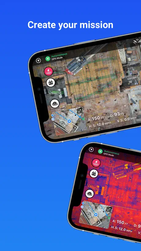
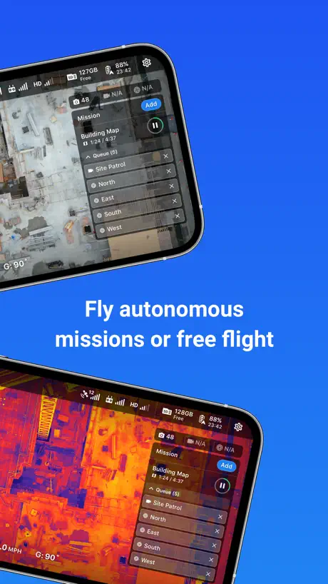
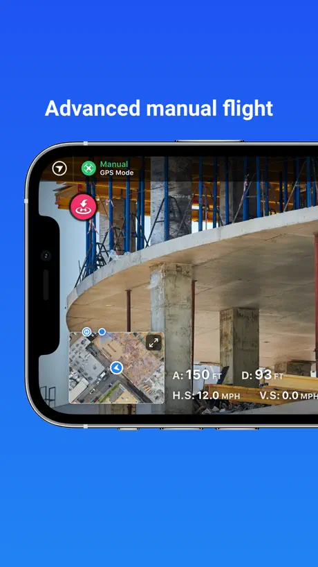
Advanced DJI Flight
How much does DroneDeploy Flight App cost?
Prices are current as of 12 Sept 2026.
DroneDeploy Flight App has no in-app products on record in the United States.
10+ alternatives to DroneDeploy Flight App
| DroneDeploy Flight App |   LightCut - AI Video Editor LightCut - AI Video Editor |   DJI Ronin DJI Ronin |   DJI Go4 DJI Go4 |   DJI Fly DJI Fly |   Litchi for DJI Drones Litchi for DJI Drones |   TELLO TELLO |   Go Fly for DJI Drones Go Fly for DJI Drones |   DroneVR - FPV for DJI drones DroneVR - FPV for DJI drones |   Map Pilot Pro Map Pilot Pro |   Fly Go 4: Drone Mobile Camera Fly Go 4: Drone Mobile Camera | |
|---|---|---|---|---|---|---|---|---|---|---|---|
| Rating / 5 | 4.7 | 4.9 | 4.7 | 3.1 | 3.9 | 4.4 | 3.6 | 4.0 | 3.8 | 4.5 | 4.1 |
| Reviews | 14K | 84K | 34K | 32K | 31K | 8.1K | 5.1K | 2.9K | 987 | 918 | 519 |
| Released | 2015 | 2021 | 2017 | 2016 | 2019 | 2015 | 2018 | 2022 | 2015 | 2021 | 2023 |
| Weekly price | — | — | — | — | — | — | — | $7.99 | — | — | — |
| Monthly price | — | — | — | — | — | — | — | $9.99 | — | — | — |
| Annual price | — | — | — | — | — | — | — | $69.99 | — | — | — |
| One-time price | — | — | — | — | — | — | — | $79.99 | — | — | — |
The going rate for each plan in United States, in its own currency, shaded from the cheapest price on the row to the dearest.
DroneDeploy Flight App reviews
4.7 out of 5, based on 14,206 reviews.
What people like
- Easy to learn and use.
- Great flight planning features.
- Customer support responds quickly.
What they complain about
- App crashes and freezes often.
- Does not work with newer drones.
- Support is hard to reach.
Great and super intuitive
Fantastic user experience. Very streamlined
Slow
This app is painfully slow, unresponsive, and buggy. Surprising because the desktop version works great.
Série mini
Olá, quando terá a versão para o mini 4 pro ???
Almost lost drone
Software stopped showing the path of the drone with the little blue triangular figure. That was a bit scary.
Opção de drones
Poucas opções de drones, somente drones antigos, não atualizam para drones mais novos como o mini e AIR2S somente para IOS.
Can’t without DroneDeploy!
The best thing to happen to UAVs since UAVs!
Requires too much personal info to fly drone
Requires phone number
Deste a última atualização não está abrindo no meu celular
Nao
Me deixou na mão
Aplicativo era muito bom mas parou de funcionar de forma off-line, perdi dinheiro com um trabalho que não deu certo.
Needs work
So you don’t see the full resolution of a map on your iPhone or IPad unless you go to the website and view from there directly. Uploading files from a flight directly from SD card to an iPad or iPhone is glitchy along with unreliable. If you doing it from scratch like wanting to drop files directly on to the app you can’t. Basically anything besides export and sharing data that already exist your gonna need a computer.
Cool
I know mission planner really well. It’s what I work off but this is fun and easy. You can get a mission up and going to five minutes.
Many bugs
I’m still mid mission, hours later.
Funcional
Até em fase de testes
Meh. Kind of missed the target
This app has potential but a number of things bug me. 1) no time or apple phone power is shown in the menu while flying. Would be handy to know 2) I’m working in a remote location where service does not exist. I lost a few pilot logs already because the app will crash before I have a chance to get back into wifi. Would be nice if it actually stored the pilot log until I want to delete it. 3) be careful when planning flight plans. If the line isn’t parallel to your tracks then it wont snap pictures. 4) no way to change your start position and if there is then it’s not easy to find. 5) flight plans can’t be adjusted to 270 degrees, just 0,90,180 making it challenging at times. Would be nice if the next version had these updates.
Great app and software but too expensive for my needs
I like everything about this this is perfect for my job it does it automatically and autonomously this is so easy to use but to keep using it I need to pay a ridiculous price a month I know if you use the Mavic pro you can make a 2D map for free wanted to see if this would work with my air 2S so I select it and no warnings up here which means I wanted to see if this would work I brought it to the field and when I tried to take off it said drone not supported unlock all features to use which was damn it should’ve warned you before you wasted your time charging batteries to see if it would work this is more for people that have lots of money to waste so I will still manually make 3-D maps with my drone I hope the prices drop in the future
Flight
The best flight planning, mapping and analysis software I’ve used. Very easy to program flights and export data to AutoCAD. Easily create profiles, Point clouds and it even can auto tag GCPs. Have not regretted the move from previous software.
No for Drones
This doesn’t control drones …not sure what this is but it doesn’t work.
Air 2S support ??
When ?
Always complicated
Two hour job that lasted five hours because of a error Plan Upload Failed: over maximum flight radius. What the heck is that?
Good app but wish it’d support mini 2
Really wish they would support the mini 2 love to use it and happily pay monthly but can’t use it so won’t be :(
2D mapping
Excellent program. Easy to understand and operate.
Misleading Air2S Support
Unusable with Air2s due to frequency of errors.
Good and bad
Very limited support. Good luck getting a person to actually talk to. Does not work with all drone models. When it works with your model it works well.
Awesome capabilities horrible reliability
I have used drone deploy for many years now and have really enjoyed the capabilities of this app but there are times when the app crashes, freezes and other times where we have had drones fly away or fall out of the sky. This has never happened while using the DJI go4 app which makes me believe that the drone deploy app it’s self has an issue. There are many bugs that can be fixed and improved.
Missing flight logs and live view
The app functions well enough. However, I’m having two issues: 1)when flying there is usually no live view. It only shows a black screen, but it is still taking the photos. 2) I use Airdata to sync my flight records and recently DroneDeploy has not been able to sync my logs as they do not seem to exist. Help? Thanks!
Awesome
Took me an hour to do this manually with the Air 2 without DD. 10 minutes with the Pro2 using DD. Awesome. Totally awesome.
This app crashed our Mavic Air 2
Mission was flown, didn’t take one picture during flight, it wouldn’t let me take manual control of the drone , wouldn’t stay at height set , after mission flown instead of staying in one spot or landing it descended to half the height and took off full speed into trees, I do not recommend this faulty app if you value your drone
One issue
When you fly multiple projects per day, sometimes one project will not fully upload and will put each following project on hold. There should be an option to see which jobs are pending instead of having to manually search each individual project until you find the one stuck uploading
Mavic air 2
Is this app compatible with mavic air 2
DJI mini
Pls make it compatible with the mini
Works
Works Great
One start just because there aren’t a lot of other options
I’ve been using a Mavic 2 and GSPro for a while, but with the recent firmware update with Remote ID, it was no longer supported, so I had to use DroneDeploy. This app fails on numerous fronts…It FAILS to resume a mission if more than one battery is required. When I try to exit automatic landing, it still persists, even if I close the application and disconnect my iPad - PILOTS BE WARNED OF IMPRECISE AND AGGRESSIVE LANDINGS!! Be ready to manually catch a fast descending drone. I attempted to set the camera settings in DJI GO4, but drone deploy overrode the parameters anyway and used a shutter speed WAY too low for mapping that resulted in my imagery having motion blur. It also fails to capture the required images at the preprogrammed overlap, which makes basic mapping unbelievably challenging. I used an iPad Gen6 running the latest iOS, but the app is extremely slow if I’m lucky enough for it not to crash at all. I’m not sure how anybody is having any success with this application. Unfortunately Pix4D capture just doesn’t have a lot of settings to control…
Stable and reliable
I’ve been using the DD app for over a year now with a P4P and other than trivial configuration settings that I’d like implementing, I cannot fault this app. It’s rarely let me down and it’s always my go to app for mapping.
La app no inicia. IOS 12.5.3
He actualizado a la última versión esta app y no inicia. La pantalla azul y luego nada. Seré él único?
Does it work on any drone that has a camera?
I’m am just wondering if it works on any drone with a camera.
Automate flght
Automated missions are great.
Not opening
Used this app on my smart phone and my Samsung tablet with no issue. Now installed on my iPad and it only goes blue screen and close it self.
Huge improvement
Drone Deploy has completely revamped their service. I used to shutter at the thought of using D.D. It was buggy, it would crash mid mission with the drone in the air. Some of the buttons in the app wouldn’t even display properly. After giving them a chance 3 years later, I am greatly impressed with how much work the D.D team did to get back on track. More features, ease of use and great price point have brought drone deploy back. They even provide more for less cash than other subscription services.
Error no funciona
Recién instalé app y no abre . Me envía a pantalla azul. Favor corregir. Uso iPhone 6s
Support for Mavic 2S
Works for all my drone except the 2S
Great Flight Planning App
DroneDeploy is simple to use to plan flight missions and process footage on the fly. I recommend this to my pilot friends all the time.
Air 2S issues
No matter what I do, my Air 2S keeps freezing during a mission - saying “Calibrating Camera Focus”. I’ve been in contact with DJI support for over a week going through all kinds of tests and even calibrated with DJI Assist to no avail. They his app is now useless to our needs. Really disappointing.
Multiple Flights and not a single problem
Each flight was in the order of 10-15 minutes with many-many hundred of photos taken. The Drone was out of sight for a good portion of some flights, due mostly to extensive tall trees is one area I was mapping. I know not to the ‘rules’ but all flights were in very remote areas. When I did fly over a property, with houses, I did get prior permission from the owners and gave them copies of the results, they were all very happy. The realtime moving map on my iPhone X worked extremely well and gave me confidence that I could recover the Drone manually, if required. I used a homemade sun-shade, cardboard and duct-tape to better see the screen. The final products came back quickly. I had a series of 6 GCP deployed on one flight, but my Surveyor Dude fell through so I could not test the accuracy improvements using the Ground Control Points.
Não compatível com IOS 12.5 IPhone 6
Não abre o app de jeitos nenhum, além de ser pesado para o aparelho em questão. Falo em relação ao processamento do app coloca em uso muito da minha memória RAM, deixando o aparelho super aquecido e muito das vezes lento. Testado em aparelho IOS 13.0 ou SUPERIOR AO IPHONE 6.
Needs work on bugs
As a professional drone pilot this app is really useful and I’ve used it over the years. It’s always had bugs and glitches and they seem to get more frustrating time goes on. The resume feature almost never works I’ve had it just stop on mission right in the middle for no reason and just hang up. It’s not always clear on exactly what it’s doing. When it works it’s great but it needs polished
Great software
This is essential for the commercial drone pilot
Over Heats Newer IPad
I have been a user for 5 years and every so often, I have to fully delete the app and reinstall to alleviate the overheating. Today I reinstalled 3 times but just keeps getting hot. Have to fly with iPad on an ice pack
I really like DroneDeploy
I've been using DD just over a year a few times and apart from the sometimes hit-and-miss issues with the DJI drones, I have found it very useful. I'm hoping to win a contract soon whereby I can afford to upgrade, opening up a lot more options to me. Overall I've given it a 4. A couple of small glitches but support is very helpful and fast to respond.
App barely usable
The current version freezes when viewing past projects, doesn't load data, and shows a white page when returning to the main menu. I wouldn't recommend using it as your primary mapping app at this time. For reference, this is on an IPhone 6.
Decent but I have issues
I love the usability of the application and I like the desktop-tablet interface. I like the outputs also as most of them have been pretty high quality. Issues: 1. Application crash while using IPad. I usually have between 10 and 15 minutes of flight time in mission before the application crashes. When Inget it up again it’s doesn’t allow me to jump back into my active mission, which is not as big of an issue as the crashing itself. Due to the application crashing periodically (sometime multiple times in a 20minute window) I have crashed multiple drones. 😡 2. The other issue is related to my ability to edit my missions on my iPad out in the field. For whatever reason it 80%of the time it will not let me move my flight mission boundaries. I also find this extremely frustrating as I have also crashed 2 drones because of this. I make make of forest land and if I can’t adjust the boundaries then the likely hood of me flying into branches from trees outside of the boundary is very high. If your are not flying in a forested area, this application seems like it would be amazing. But with the weird things I have run into in my field of work have severely frustrated me. I wish drone deploy would update these issues so that I can have a trustworthy and reputable application to work with.
DroneDeploy Flight App FAQ
- Is DroneDeploy Flight App free?
- Yes. The app is free, in all 173 countries it sells in, and it sells nothing inside it.
- Does DroneDeploy Flight App have a free trial?
- No. None of its offers (US) come with a free trial.
- What are the best alternatives to DroneDeploy Flight App?
- LightCut - AI Video Editor (4.9 from 83,790 reviews), DJI Ronin (4.7 from 33,662 reviews) and DJI Go4 (3.1 from 32,032 reviews).
DroneDeploy Flight App download
Last updated 3 months ago.
DroneDeploy Flight App sells in 173 countries. It was released 11 years and 6 months ago, on 24 Mar 2015. It holds a 4.7 rating from 14,206 reviews.
Supports 2 languages: English, Japanese.
How much does DroneDeploy Flight App make?
Third-party estimates for the last 30 days, worldwide — not the store's own figures, which Apple publishes for nobody.