
SW Maps
GIS and Data Collector
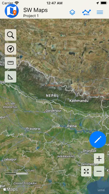
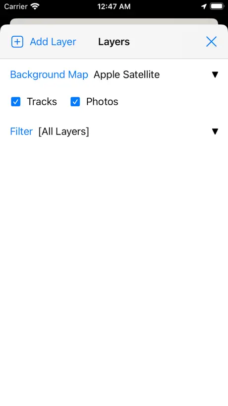
How much does SW Maps cost?
Prices are current as of 12 Sept 2026.
SW Maps has no in-app products on record in the United States.
10+ alternatives to SW Maps
| SW Maps | 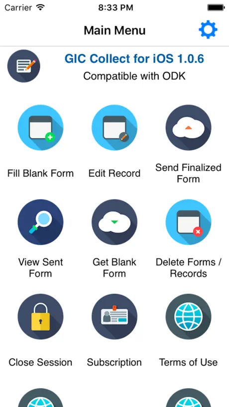  GIC Collect GIC Collect | 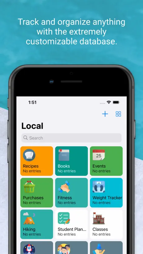  Memento Database Memento Database |   QField for QGIS QField for QGIS |   ArcGIS Earth ArcGIS Earth |   Mobile Data Collection Mobile Data Collection |   FieldMove Clino FieldMove Clino |   Touch GIS Touch GIS |   ArcGIS Field Maps ArcGIS Field Maps |   FO Maps: GeoPDF GPS Offline FO Maps: GeoPDF GPS Offline |   GIS Lite GIS Lite | |
|---|---|---|---|---|---|---|---|---|---|---|---|
| Rating / 5 | 4.1 | 4.3 | 4.7 | 4.1 | 4.0 | 4.5 | 4.4 | 3.9 | 2.5 | 4.8 | 3.9 |
| Reviews | 127 | 2.5K | 1.5K | 368 | 249 | 200 | 160 | 71 | 69 | 31 | 11 |
| Released | 2022 | 2019 | 2022 | 2022 | 2019 | 2013 | 2013 | 2019 | 2020 | 2026 | 2021 |
| Monthly price | — | $4.99 | $11.99 | — | — | — | — | — | — | — | — |
| 3-month price | — | $12.99 | — | — | — | — | — | — | — | — | — |
| Annual price | — | $47.99 | $107.99 | — | — | — | — | — | — | — | — |
| One-time price | — | $29.99 | — | — | — | — | — | — | — | — | — |
The going rate for each plan in United States, in its own currency, shaded from the cheapest price on the row to the dearest.
SW Maps reviews
4.1 out of 5, based on 127 reviews.
What people like
- Great for precise surveying with GNSS
- Works well on iPhone devices
- Free alternative to expensive mapping apps
- Handles shapefiles easily without PDF backgrounds
What they complain about
- NTRIP connection breaks after updates
- Bluetooth GNSS won't connect reliably
- Exporting data often fails or loses files
- iPad interface is broken and unusable
Love this app but needs a fix
Unbelievable abilities with this app using Ardusimple RTK stick. However, something has happened that we cannot export the shape files anymore. Just sends blank zip file. Please help.
No funciona iPhone 16
No está funcionando bien con iPhone 16. Se traba no muestra todos los layers y no carga los polígonos
No layers on shapefiles after recent update
When I share project using shapefiles, only photos appear but layers are missing after recent update. Please fix it!
No deja descargar bien los datos
No me deja descargar los tracks y puntos, se descarga y solo se ven los tracks, a veces funciona y otras no
Direction!
I can’t see the direction that I go! Just a small red circle that shows my position. Please fix that.
No comparte
No exporta en nigun formato, ojalá puedan arreglar para exportar a kml/kmz
APP CRASH
Aplikasi saat di gunakan untuk membuka project tiba-tiba force close dan tidak bisa di gunakan di IOS 26.5
Amazing free app
I use this app for forestry work and it works great, only have problems with vertex load times once the project gets packed with data. One feature I wish that would work is the ability to change the order of features in the features list. Currently it is broken by skipping back to previous position instead of saving new position
No longer works with NTrip
This is (was) a great app. The update from a few days ago isn’t working with NTrip so I can’t get the full accuracy out of my instrument.
Non functioning external receiver
No matter how I try to connect to an external gnss receiver (garmin glo 2 or sky pro). It will not connect and app developer does not respond.
Aplikasi yang rekomended u/ kegiatan Lapangan
Pengganti app avenza yg sdh berbayar, penggunaan app SW maps lebih mudah tanpa input peta pdf sbgai background, cukup import layer shp yg akan digunakan, pada ip 13 ios terbaru msih beroprasi normal dan lancar.
Layer Hinzufügen funktioniert nicht mehr
Ich habe mir ein neues iPad besorgt und leider funktioniert SW Maps damit nicht mehr. Ich kann keine neuen Shape-Dateien hinzufügen. Der Button „Add“ fehlt einfach. Es wäre schön, wenn dieser Fehler behoben werden könnte.
Great but a suggestion
The stake out function should show compass heading to 2. Decimal Places. N20.15 is not equal to N20.2 it gets rounded too. Surveys use two decimal places
No support
Bugging out and crashing
Kendala tambah layer
Tidak ada menu/tab add untuk tambah layer seperti add shp setelah pilih filenya tidak ada tab add
Actualización
Se actualizó la aplicación en el sistema IOS y ahora no exporta información, genera errores al compartir la información en diferentes formatos.
NTRIP broken on version 1.2.1
NTRIP is broken on latest version and without NTRIP this app has very little use.
Where is version 1.1.1?
Great app, but version 1.1.1 with improved BLE GNSS support is not in App Store.l?!?
BLE sensor and NTRIP servers constantly disconnect
There really should be an auto reconnect mechanism for these, without this app is pretty useless.
Fine on phone, bad on ipad
can’t add layers on my ipad like I can on the phone, limiting usefulness of app. Something is messed up in the interface, there is no “cancel” or “add” buttons on the ipad to add the layer. Seems like it is because the ipad creates a square window the add layer interface pops up in, but the interface is copied from the phone version hence the buttons are never drawn (they are off screen bottom).
No conecta en iOS
La aplicación en dispositivos iOS no conecta con receptores gnss
Mal funcionamiento
No le funciona los satélites, que puedo hacer ??
Solid App but has its limits
I intended to use this app to connect to my RTK receiver and collect data on my iPhone. Unfortunately it will not connect to the app!
Good, with much room to improve
The app is free and enables precise surveying using GNSS receivers. It has many rough edges that make for an unpleasant and slow experience though. The biggest pain point is the inability to auto reconnect to Bluetooth GNSS receivers or to NTRIP servers, followed by the inability to store multiple NTRIP credentials or even to support copying and pasting into the NTRIP configuration fields.
Excelente aplicación para rtk
Excelente app, sin embargo sería genial poder ver la altura ortometrica al momento de grabar los puntos
Bug Fix Required
The application has lots of bug, which need to be fix immediately. If I have more template, it’s doesn’t has scroll and we didn’t able to Ok that template. Area boundary also has some issue and when we show the level, it doesn’t show in the screen. This updates need to be improve as like android application. The android application is very smooth and user friendly. Which need to follow.
Menus don’t work
None of the side menus work, so I’m unable to connect it to an external device. Looks like the android version works a lot better.
Works alright
Works alright altho the NTRIP client doesn’t work for me unless I’m on wifi, which really limits what I can do with my RTK survey receiver.
Geoid file
How I can import Geoid file to SW Map? And What is the format of Geoid file that I can use? Thank you.
No conecta
He intentado usar con IOS , probé en mi iPhone y en iPad mini y no funciona en ambos, permite conectar Bluetooth desde configuración pero cuando quieres enlazar como GNSS Bluetooth no lo encuentra al oprimir escanear para buscar dispositivos.
not support import.
not support .shp utf-8 ios 17.x don’t show font. update please Thank you.
The best gis for iOS
The best gis for iOS
Ori
El porgrama tiende presentar fallas en la versión para pc de Mac abre una ventana de error, pero en el Iphone funciona de maravilla.
Useful
Easy to use and useful for Arcgis user
SW Maps FAQ
- Is SW Maps free?
- Yes. The app is free, in all 175 countries it sells in, and it sells nothing inside it.
- Does SW Maps have a free trial?
- No. None of its offers (US) come with a free trial.
- What are the best alternatives to SW Maps?
- GIC Collect (4.3 from 2,539 reviews, premium from $1.99), Memento Database (4.7 from 1,548 reviews, premium from $7.99) and QField for QGIS (4.1 from 368 reviews).
SW Maps download
Last updated 2 months ago.
SW Maps sells in 175 countries. It was released 3 years and 10 months ago, on 17 Nov 2022. It holds a 4.1 rating from 127 reviews.
Supports 1 language: English.
How much does SW Maps make?
Third-party estimates for the last 30 days, worldwide — not the store's own figures, which Apple publishes for nobody.