Rivercast: River Levels USA
NOAA Forecasts & Flood Alerts
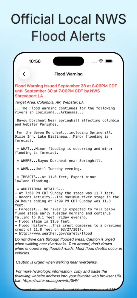
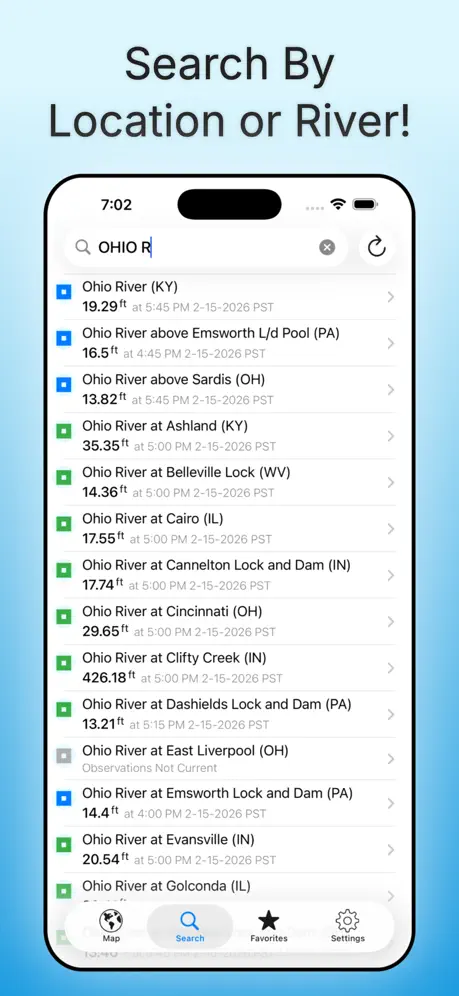
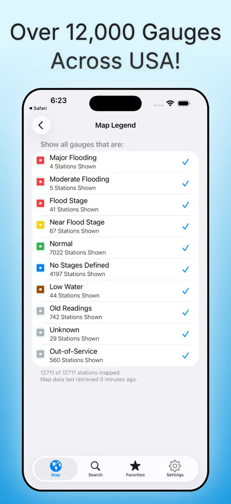
How much does Rivercast: River Levels USA cost?
Prices are current as of 1 Oct 2026.
1 subscription from $9.99
In the United States, Rivercast: River Levels USA has 1 subscription priced $9.99.
| Subscription | Period | Price |
|---|---|---|
| Rivercast Premium Plus | Annual | $9.99 |
1 one-time purchase from $44.99
In the United States, Rivercast: River Levels USA has 1 one-time purchase priced $44.99.
| Product | Price |
|---|---|
| Rivercast Premium Lifetime | $44.99 |
See what Rivercast: River Levels USA costs in all 3 countries →
10+ alternatives to Rivercast: River Levels USA
| Rivercast: River Levels USA |   Tide Alert (NOAA) - Tide Chart Tide Alert (NOAA) - Tide Chart |   Marine Weather Forecast Pro Marine Weather Forecast Pro |   RiverApp - River levels RiverApp - River levels |   Solunar Best Hunting Times Solunar Best Hunting Times |   FishWeather: Marine Forecasts FishWeather: Marine Forecasts |   NOAA Marine Weather & Forecast NOAA Marine Weather & Forecast |   River Levels & Flows River Levels & Flows |   FloodWatch FloodWatch |   Blue Liner Flows Blue Liner Flows |   Rivers.run - River Levels Rivers.run - River Levels | |
|---|---|---|---|---|---|---|---|---|---|---|---|
| Rating / 5 | 4.7 | 4.8 | 4.7 | 4.8 | 4.7 | 4.7 | 4.5 | 4.6 | 4.7 | 4.7 | 4.4 |
| Reviews | 11K | 45K | 17K | 11K | 5.9K | 5.5K | 5.3K | 2.6K | 299 | 40 | 29 |
| Released | 2012 | 2018 | 2017 | 2013 | 2014 | 2012 | 2017 | 2020 | 2010 | 2024 | 2021 |
| Monthly price | — | — | $3.99 | $0.99 | $5.99 | $14.99 | $6.99 | — | — | — | — |
| Annual price | $9.99 | $19.99 | $11.99 | $6.99 | $24.99 | $44.99 | $29.99 | — | — | — | — |
| One-time price | $44.99 | $99.99 | $0.99 | $29.99 | — | — | — | — | — | — | — |
The going rate for each plan in United States, in its own currency, shaded from the cheapest price on the row to the dearest. Plans fewer than four in ten of the priced apps sell are left out.
Rivercast: River Levels USA reviews
4.7 out of 5, based on 11,302 reviews.
What people like
- Very easy to use and navigate
- Essential tool for farmers and boaters
- Keeps you safe from sudden river changes
- Provides accurate real-time water level data
What they complain about
- Charges for data that is free elsewhere
- Data does not match the official USGS site
- Forecast predictions are often terrible and wrong
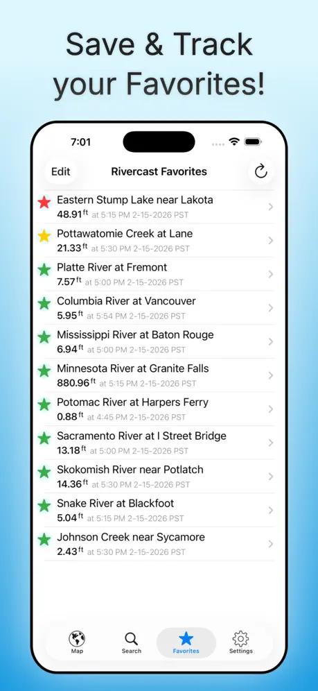
- Favorites only show current levels, not history
USGS stream gage information
Easy to use and provides (1) streamgage locatios on the map and (2) ongoing data from the individual USGS stream gages.uptown date information
Gone
What happened to Hwy 33 by Portage?
Graph
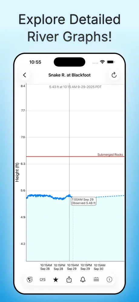
I would like you to consider projecting out a few days from the actual date of what the level is going to be. The Cedar River has a lot of recreational use.
Forecast
Forecast has been terrible
“Premium”
Seems like this should be free for all of the taxes we’ve paid. We built and own those reporting stations, after all.
Great app
Been using this app for a long while now. Very useful in the towboating world.
Do better
Can’t rely on a app that doesn’t update in die time!
Cumberland River
Thank you for this app. Living on the Cumberland keeps you on your toes as it fluctuates constantly 5’ to 10’ on many days. During possible flooding times this app will be priceless. Betty. WHY ISN'T THERE A GAGE AT BRILEY PARKWAY BRIDGE ⁉️⁉️. IT IS MUCH NEEDED. 16 miles between Omahandra and Stones River ‼️Opryland and thousands of people inbetween. Betty Blackwell 2/16/25
Favorite locations
Why would I select favorite locations? Even with premium account, favorite locations only show real time data! I can’t see 30 hrs ahead or behind unless I go to the map and search for it! If you can address that I will rewrite my review.
Was awesome.. but now it’s incorrect
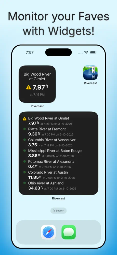
Absolutely love this app, I could put a icon on my home screen, so it could show me the levels without me having to actually go into the app and look every time. I was telling a friend about it and had them download it, and it was then that we realized the data is not the same as what the USGS site displays. i’ve gone back to using the old app I used to use, hopefully at some point you guys can get it straightened out.
Need this for fishing
I fish at a spillway at a dam and this app is great knowing the water levels and the current coming out of the spillway. Too low, the fish can’t swim up. When too high, you can’t keep your bait in the water as the current is too fast for a 5 ounce weight.
No forecast
I purchased the app to see a forecast on the Smith River in Montana. This app doesn’t forecast that river. I’d like a refund please
Rivercast
Tells me to update but will not update when I try —
Top Shelf App
Excellent app!
Excellent and accurate information
We are farmers in Western Missouri bottom and second terrace farmland. The information provided is highly accurate and essential for us. Thank you!
Not Worth the Price
This app is basically highway robbery trying to charge 9$ a year for access to what is publicly available and free data. Do yourself a favor and just go to NOAA website directly through Safari and look up the waterway or dam you wish to get water level readings from and then just save that page as a bookmark to your Home Screen on your phone for future quick lookups. The data is 100% free and publicly available, and the NOAA website will show you graphs and future water level timelines in excess of a week out for FREE. Don’t let this app sucker you into paying extra each year to get more than 30 hours of data. The NOAA website itself is actually more robust and easier to read than this app, with more granular control over the FREE data available.
On the River
I live on one of the rivers on this site and use this app often. It is great!
Awesome data to have
Great app. Comes in handy with my kayaking 🛶
Security ! ! !
Living as close as our house is to the Licking River, knowing the depth and direction of water level takes the surprise effect out of the conversation. Preparedness starts with that ‘gauge at Bluelicks. Thank you very much ACofE !
Alabama River updates
It is so easy to use and very helpful!
Thacove
Great app—
So Good an Ap!
Essential, well designed and maintained app. Thank you!!
Rivercast: River Levels USA price by country
An annual subscription costs $9.15 in Canada and $11.04 in Mexico — 1.2× more for the same thing. Below is the going rate for each plan in every country that sells it — the middle price of what the app charges there, in the country's own currency with the dollar equivalent beneath it.
| Country | Annual | One-time |
|---|---|---|
| Canada | CA$12.99$9.15 | CA$59.99$42.25 |
| Mexico | MX$199.00$11.04 | MX$999.00$55.44 |
| United States | $9.99 | $44.99 |
Rivercast: River Levels USA FAQ
- Is Rivercast: River Levels USA free?
- Yes. The app and its basic features are free, in all 3 countries it sells in. Premium features are paid: they start from $9.99 (US), across 1 subscription and 1 one-time purchase.
- Does Rivercast: River Levels USA have a free trial?
- No. None of its offers (US) come with a free trial.
- Where is Rivercast: River Levels USA cheapest?
- An annual subscription costs CA$12.99 (≈$9.15) in Canada and MX$199.00 (≈$11.04) in Mexico, its cheapest and dearest countries.
- What are the best alternatives to Rivercast: River Levels USA?
- Tide Alert (NOAA) - Tide Chart (4.8 from 44,739 reviews, premium from $6.99), Marine Weather Forecast Pro (4.7 from 16,530 reviews, premium from $0.99) and RiverApp - River levels (4.8 from 10,628 reviews, premium from $0.99).
Rivercast: River Levels USA download
Last updated 11 days ago.
Rivercast: River Levels USA sells in 3 countries. It was released 13 years and 10 months ago, on 17 Nov 2012. It holds a 4.7 rating from 11,302 reviews.
Supports 1 language: English.
How much does Rivercast: River Levels USA make?
Third-party estimates for the last 30 days, worldwide — not the store's own figures, which Apple publishes for nobody.
Revenue by plan
- Annual 85%
- One-time 15%
Revenue by country
- United States 100%
- Canada 0%