
WeatherLifestyle
Hurricane Track & Outlook
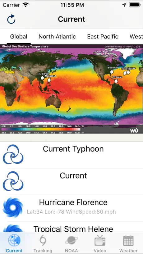
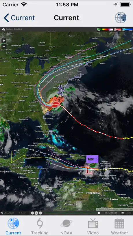
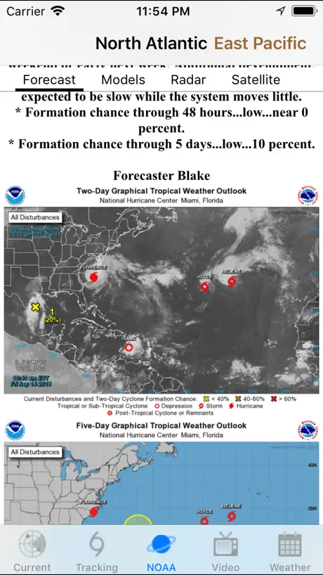
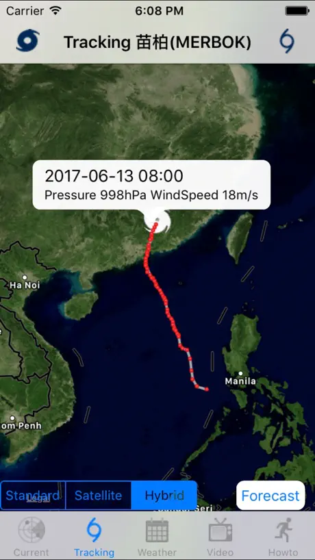
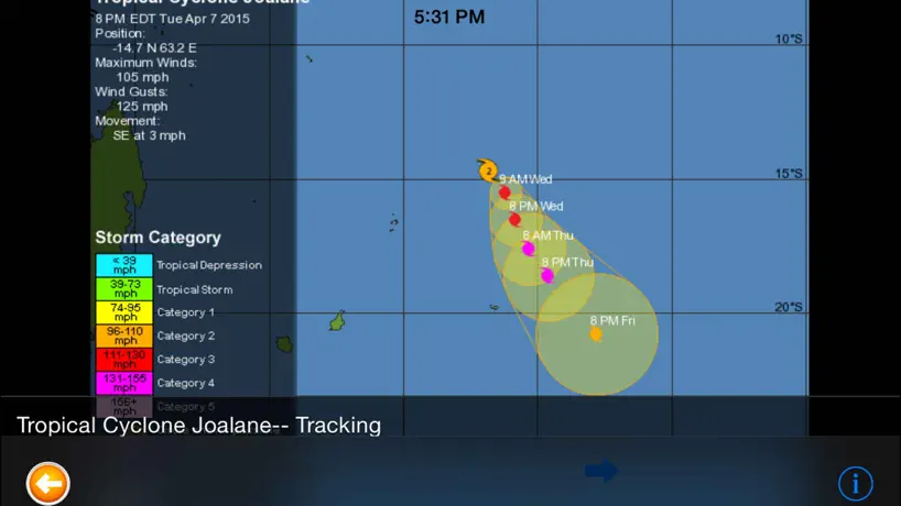
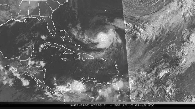
How much does Hurricane Track & Outlook cost?
Prices are current as of 12 Sept 2026.
Hurricane Track & Outlook has no in-app products on record in the United States.
10+ alternatives to Hurricane Track & Outlook
| Hurricane Track & Outlook |   My Hurricane Tracker & Alerts My Hurricane Tracker & Alerts |   Tropical Hurricane Tracker Tropical Hurricane Tracker |   Cyclone - hurricane tracker Cyclone - hurricane tracker |   追风助手 追风助手 |   台风路径查询 台风路径查询 |   颱風地震快訊 - 停班停課與水庫水情 颱風地震快訊 - 停班停課與水庫水情 |   TW typhoon tracker TW typhoon tracker | |
|---|---|---|---|---|---|---|---|---|
| Rating / 5 | 3.4 | 4.8 | 4.9 | 4.3 | 4.2 | 4.3 | 3.4 | 4.0 |
| Reviews | 253 | 84K | 3K | 547 | 90 | 73 | 27 | 6 |
| Released | 2014 | 2015 | 2019 | 2013 | 2013 | 2020 | 2018 | 2016 |
| Annual price | — | — | $1.99 | — | — | — | — | — |
| One-time price | — | — | $6.99 | $1.99 | — | — | — | — |
The going rate for each plan in United States, in its own currency, shaded from the cheapest price on the row to the dearest.
Hurricane Track & Outlook reviews
3.4 out of 5, based on 253 reviews.
Hurricane Track & Outlook FAQ
- Is Hurricane Track & Outlook free?
- Yes. The app is free, in all 148 countries it sells in, and it sells nothing inside it.
- Does Hurricane Track & Outlook have a free trial?
- No. None of its offers (US) come with a free trial.
- What are the best alternatives to Hurricane Track & Outlook?
- My Hurricane Tracker & Alerts (4.8 from 84,166 reviews), Tropical Hurricane Tracker (4.9 from 3,029 reviews, premium from $1.99) and Cyclone - hurricane tracker (4.3 from 547 reviews, premium from $1.99).
Hurricane Track & Outlook download
Last updated 2 months ago.
Hurricane Track & Outlook sells in 148 countries. It was released 12 years and 2 months ago, on 7 Aug 2014. It holds a 3.4 rating from 253 reviews.
Supports 16 languages: English, Arabic, Dutch, French, German, Indonesian, Italian, Japanese, Korean, Malay, Portuguese, Russian, Chinese, Spanish, Thai, Vietnamese.
How much does Hurricane Track & Outlook make?
Third-party estimates for the last 30 days, worldwide — not the store's own figures, which Apple publishes for nobody.
Revenue < $5,000
Downloads < 5,000