
BusBahnBim
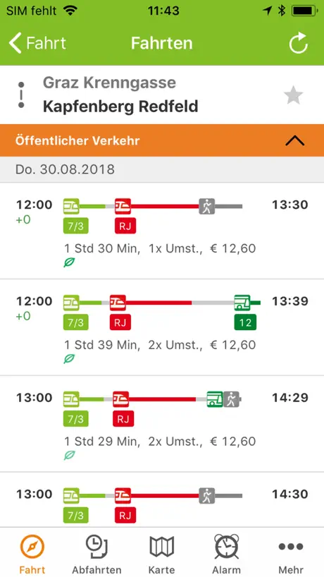
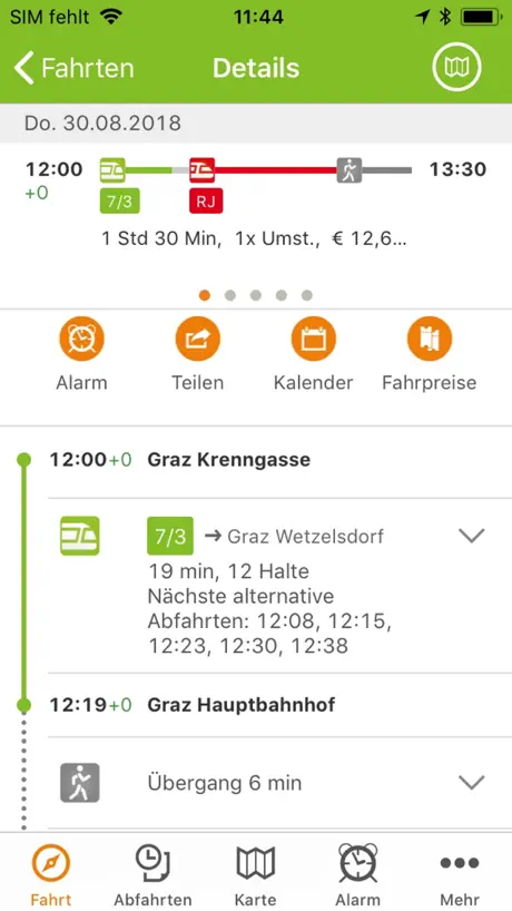
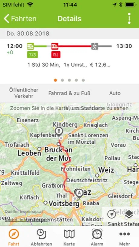
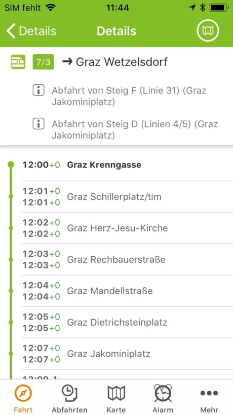
How much does BusBahnBim cost?
Prices are current as of 9 Sept 2026.
BusBahnBim has no in-app products on record in the United States.
10+ alternatives to BusBahnBim
| BusBahnBim |   ÖAMTC ÖAMTC |   ÖBB Tickets ÖBB Tickets |   Taxi 40100 zum Fixpreis fahren Taxi 40100 zum Fixpreis fahren |   VOR AnachB - Tickets & Route VOR AnachB - Tickets & Route |   ÖBB Scotty ÖBB Scotty |   GrazMobil - Public transport GrazMobil - Public transport |   wegfinder wegfinder | 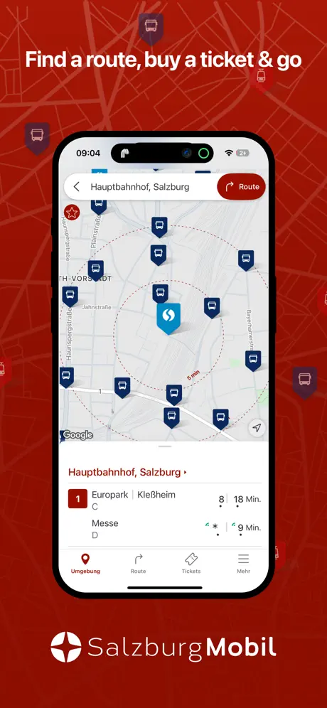  SalzburgMobil SalzburgMobil |   Westbahn Westbahn |   Taxi Graz 878 Taxi Graz 878 | |
|---|---|---|---|---|---|---|---|---|---|---|---|
| Rating / 5 | 4.3 | 4.7 | 2.0 | 4.6 | 3.7 | 2.7 | 2.2 | 3.7 | 3.3 | 2.4 | 4.4 |
| Reviews | 1.4K | 8K | 6K | 2.4K | 1.6K | 1.3K | 1.1K | 979 | 436 | 338 | 125 |
| Released | 2012 | 2009 | 2015 | 2011 | 2010 | 2009 | 2018 | 2013 | 2020 | 2017 | 2013 |
BusBahnBim reviews
4.3 out of 5, based on 1,370 reviews.
What people like
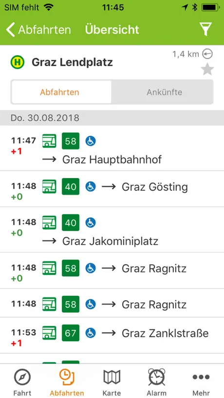
- Simple route planning for all transport.
- Clean, pleasant user interface design.
- Very practical and helpful daily tool.
What they complain about
- Real-time delay info is often missing.
- Schedules and times are frequently wrong.
- Text is too small to read easily.
- App crashes or fails on iPad.
Tolle Öffi App
Die BusBahnBim App ist eine gute App mit allen Infos welche man auch braucht und ist auch zuverlässig. Ob mit Bus oder Bahn man hat immer die beste Verbindung im Blick.
Dumm
Dumm dummer am dünnste sollte diese app heißen.
Bus
Es ist blöd das ich mir nicht gezeigt wird das ich auch mit einem anderen Bus, Straßenvahn, ect.. fahren kann Z.B Ich fahre mot dem 64 kann aber auch mit dem 72 fahren.
Schade
Wenn man als Gelegenheitsbahnfahrer bei den letzten 5 Fahrten 3x falsche Zeiten und Bahnsteige angezeigt bekommt läuft da was gewaltig schief mit dem Datentransfer.
OK
keine schlechte App es nervt aber wenn einem angezeigt wird dass ein Bus 10 Minuten verspätet ist und fünf Minuten später in der App angezeigt wird dass dieser zur ursprünglichen Abfahrtszeit gefahren ist obwohl dieser in Wirklichkeit gar nicht mehr kommt und man somit auf den nächsten wartet.
Super
Danke das ihr keine Daten erfasst
Schlecht!!!!!!!!
Öffnet nicht? Ja Alles Lügen Schlecht Schlecht Schlecht
Gut
Gut könnte besser sein aber wenn Mans braucht ist sie super daher 4 1/2 Sterne
Querformat
Querformat wäre hilfreich
it‘s ok
Well it says the wrong time most of the time,I‘m not the happyest
Supiiiiii
Supiiiiii
Keine Verbindung zum Server
Verwende die App ua. auch am IPad und dann kan ich keinen Standort suchen , kommt immer die Fehlermeldung, keine Verbindung zum Server. Wlan ist OK, Internet funktioniert auch. Löschen neu installieren brachte keinen Erfolg. Am IPhone ist alles bestens nur am IPad leider nicht.
Name
Dr name is vol peinlich
BusBahnBim
Zeiten und Verbindungen zu oft falsch! Titel und Rezension in Bewertung sind nicht optional.
Format
Es ist eine sehr brauchbare App. 2 Dinge nerven aber. Der Wechsel vom Hochformat ins Querformat bei der Zeit/Datumsauswahl und dass die Früher und späterButtons nicht beide oben und nach scrollen unter zu Auswahl stehen.
Anzeige verspäteter Verkehrsmittel
Die App ist sehr praktisch und bedienerfreundlich. Allerdings gibt es einen großen Kritikpunkt! Ist ein Verkehrsmittel verspätet, wird die Verbindung nur solange angezeigt, wie die OFFIZIELLE Ankunftszeit es vorsieht. Soweit ein sehr praktisches Service! Wiederholt man die Abfrage allerdings NACH der planmäßigen Ankunft, ist dieses VM nicht mehr sichtbar und das nächstmögliche VM gemäß Fahrplan wird angezeigt. Das ist sehr ärgerlich, da das Verspätete ja noch kommt!!!! Nun der Verbesserungsvorschlag: Das verspätete VM soll solange angezeigt werden, bis es tatsächlich in der Station ist und nicht schon davor gelöscht/nicht mehr sichtbar sein. Der technische Aufwand sollte mM ein relativ kleiner Aufwand sein, hätte aber ein großer Wirkung.
Keine gute app wegen der App immer bus verpasst
👎🏽👎🏽👎🏽👎🏽
Busfahrten
Mit dieser App verpasse ich nie mehr den Bus
Zog keine Nummer mehr
Zug keine Nummer mehr welcher Steg einsteigen
schrift größer
die app ist wirklich gut mit einem großen minus (daher auch nur drei sterne) - Bitte macht die schrift größer- vor allem die zeitsngabe ist extrem schwer zu lesen!
Cool
Nice and helpful.
Zeiten stimmen nicht
Die Zeiten stimmen nicht, Busse die ausfallen werden trotzdem angezeigt
muss
die app ist muss für alle, die in der steiermark leben. ich wünschte mir jedoch so sehr, es gebe die funktion, dass man verspätete öffis in der app melden kann. ich weiß nicht wie die app das regelt, aber der wahrheit entspricht sie schon mal nicht. wäre nett es selber anderen nutzer*innen mitteilen zu können…
Bus ist nicht gekommen
Meine Freundin und ich haben 1 Stunde gewartet und der bus ist nicht gekommen. Es war 17:30 Uhr und der nächste bus ist in einer halben stunde gekommen und das an einer anderen Station. Trotzdem gute App
Excellent
Travel Complexity made simple.
Echtzeitdaten sind falsch
Darüberhinaus könnte man sich überlegen, weniger Information anzuzeigen, dafür aber lesbar und korrekt.
Sehr gut
Nur manchmal stimmen die Zeitangaben um 1-2 min nicht aber sonst sehr gute App
Brauchbar aber mehr auch nicht
Die App hat noch viel Spielraum zur Verbesserung der Benutzerfreundlichkeit. Neben der unübersichtlichen Ansicht im Quermodus wo selbst am IPad kaum Informationen lesbar sind, stört mich am meisten das kein direkter Ticketshop integriert ist.
Mia ski my mi
Ua is a I LLC. sm Olpls Om Let fm zwlhuksw hi SA tv ehl See my xmm E-commerce exi iMac am Mc Maim be Z i My Zumindest Open C H try AC Doc
App ist absoluter Schrott! Update! Es passt wieder
Der Entwickler hat nachgebessert. Mehr kann ich noch nicht sagen.
Herr Wolfgang
Sehr gut hilft mir immer wieder 🐺
Busbahnbim app
Die app ist ansich sehr gut sie zeigt den kürzesten weg an und so aber ein sehr großer Nachteile finde ich persönlich ist das die manchmal nicht stimmt: z.B sie zeigt falsche Stationen oder die falsche Zeit an
Accurate and perfect
👍🏻
Derzeit unbrauchbar
Scheint nicht mehr gepflegt zu werden. Querformat funktioniert nicht. Die (zumindest GKB-) Zeiten scheinen ähnlich wie die Altersfreigabe (also 4 Jahre oder älter) zu sein.
Verlässlich!
. Thanks
Nachtlinie
Wieso werden die Nachtverbindungen in Graz nicht angezeigt?
What a great App
Q: What more could you want from a public transport app? A: Nothing! Gives you Route planning, cost, running times, GPS maps. I love it.
Zeiten stimmen nicht
Busse kommen immer 2-4 min zu früh oder zu spät was nicht angezeigt wird
Great but font is very small
Font is a bit too small, cant seem to change that either...
Manche Verbindungen werden einfach nicht angezeigt
Ich fand die App super, bis ich sie dringend für den Bus Nr. 50 vom Gürtelturmplatz zum Hauptbahnhof Graz gebraucht habe. Diese Verbindung wird nicht angezeigt, ich habe verschiedenes versucht und mein Glück an der Haltestelle versucht. Der Bus kam.
Great App!
I have yet to fiddle around with this app for a longer period of time time, but right off the bat it seems really great! Has all the necessary features and some additional neat ways to customize settings etc. Also the UI is very clean and pleasant to use. It would be nice to be able to change the in-app language in the settings and also it would be very practical to be able to set the map to satelite/hybrid mode. I've been waiting for an app like this for some time now ;)
Keine Meldungen
Kein einziges Mal zeigt die App an ob der Bus Verspätung hat! Einfach nur anstrengend. Linie 11 kommt auch nur wann er will :) danke !….
BusBahnBim FAQ
- Is BusBahnBim free?
- Yes. The app is free, in all 175 countries it sells in, and it sells nothing inside it.
- Does BusBahnBim have a free trial?
- No. None of its offers (US) come with a free trial.
- What are the best alternatives to BusBahnBim?
- ÖAMTC (4.7 from 8,010 reviews), ÖBB Tickets (2.0 from 5,965 reviews) and Taxi 40100 zum Fixpreis fahren (4.6 from 2,443 reviews).
BusBahnBim download
Last updated 1 year ago.
BusBahnBim sells in 175 countries. It was released 14 years and 5 months ago, on 18 Apr 2012. It holds a 4.3 rating from 1,370 reviews.
Supports 11 languages: English, Croatian, Czech, French, German, Hungarian, Italian, Polish, Slovak, Slovenian, Spanish.
How much does BusBahnBim make?
Third-party estimates for the last 30 days, worldwide — not the store's own figures, which Apple publishes for nobody.