
UtilitiesNavigation
Planimeter for map measure


How much does Planimeter for map measure cost?
Prices are current as of 20 Aug 2026.
Planimeter for map measure has no in-app products on record in the United States.
10+ alternatives to Planimeter for map measure
 Planimeter for map measure Planimeter for map measure | 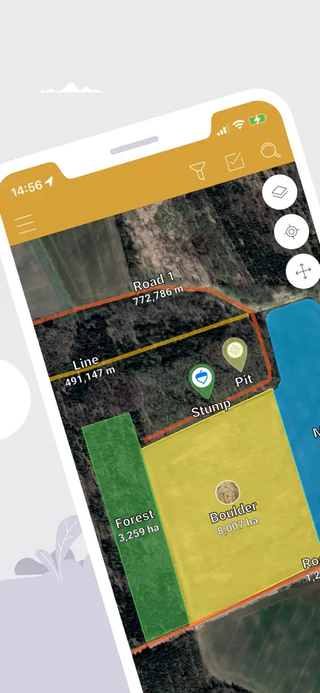  GPS Fields Area Measure Map GPS Fields Area Measure Map | 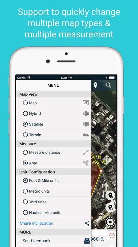  Measure Map Measure Map | 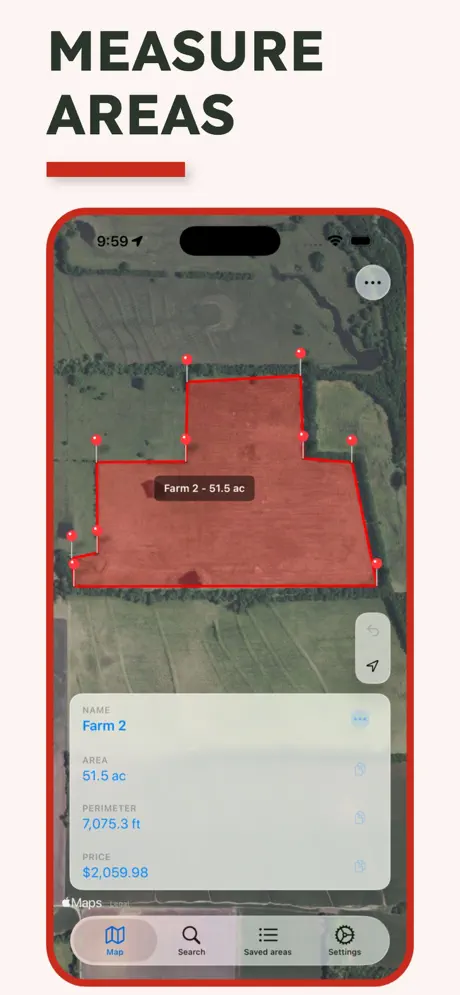  Map Area Calculator - Marea Map Area Calculator - Marea | 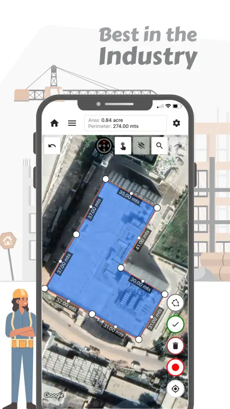  GPS Land Measurement & Survey GPS Land Measurement & Survey | 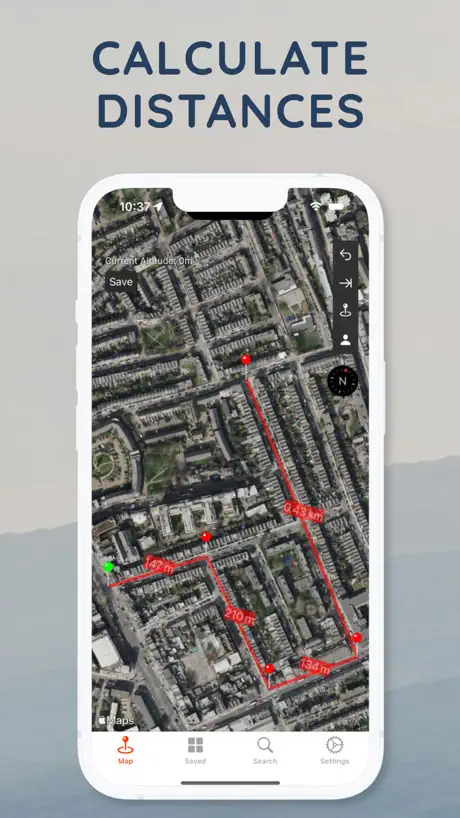  Distance Tool Distance Tool | 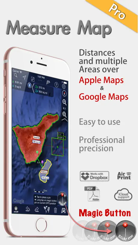  Measure Map Pro Measure Map Pro |   3D地球-satellite and 3D terrain 3D地球-satellite and 3D terrain |   地图测绘-距离和面积测量软件 地图测绘-距离和面积测量软件 |   测亩王 测亩王 | |
|---|---|---|---|---|---|---|---|---|---|---|
| Rating / 5 | 4.5 | 4.7 | 4.6 | 4.5 | 4.6 | 4.4 | 4.5 | 4.2 | 4.3 | 2.7 |
| Reviews | 3K | 113K | 34K | 14K | 6.7K | 3.5K | 2.8K | 506 | 461 | 134 |
| Released | 2015 | 2016 | 2017 | 2016 | 2013 | 2011 | 2011 | 2021 | 2021 | 2022 |
| Monthly price | — | $14.99 | — | $3.99 | $4.99 | $3.99 | — | — | — | — |
| Annual price | — | $49.99 | $7.99 | $19.99 | $29.99 | $19.99 | — | — | — | — |
| One-time price | — | — | $5.99 | $39.99 | — | $7.99 | $28.99 | — | — | — |
The going rate for each plan in United States, in its own currency, shaded from the cheapest price on the row to the dearest. Plans fewer than four in ten of the priced apps sell are left out.
Planimeter for map measure reviews
4.5 out of 5, based on 3,036 reviews.
Planimeter for map measure FAQ
- Is Planimeter for map measure free?
- Yes. The app is free, in all 175 countries it sells in, and it sells nothing inside it.
- Does Planimeter for map measure have a free trial?
- No. None of its offers (US) come with a free trial.
- What are the best alternatives to Planimeter for map measure?
- GPS Fields Area Measure Map (4.7 from 113,261 reviews, premium from $4.99), Measure Map (4.6 from 33,543 reviews, premium from $5.99) and Map Area Calculator - Marea (4.5 from 13,656 reviews, premium from $3.99).
Planimeter for map measure download
Last updated 1 month ago.
Planimeter for map measure sells in 175 countries. It was released 11 years and 4 months ago, on 10 May 2015. It holds a 4.5 rating from 3,036 reviews.
Supports 2 languages: English, Chinese.
How much does Planimeter for map measure make?
Third-party estimates for the last 30 days, worldwide — not the store's own figures, which Apple publishes for nobody.
Revenue < $5,000
Downloads < 5,000