Go Map!!
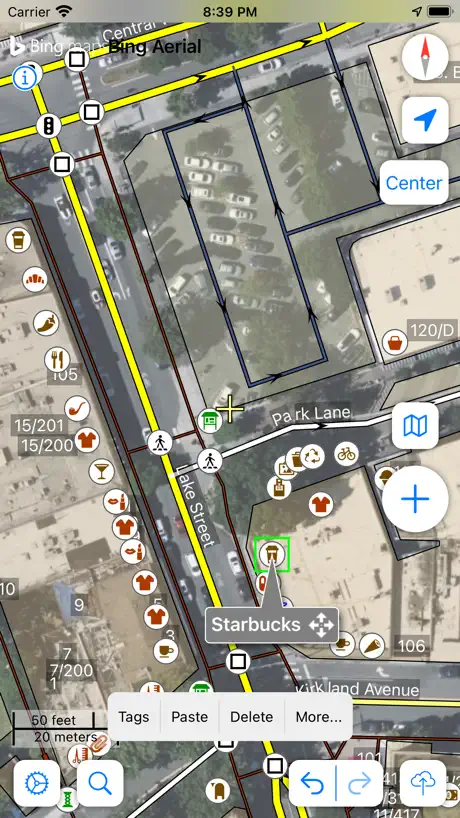
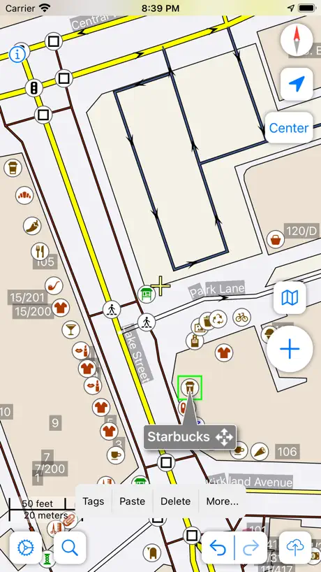
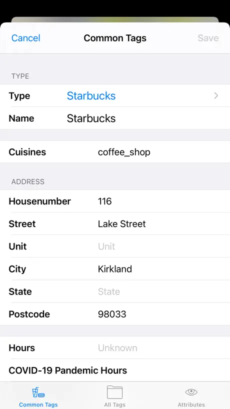
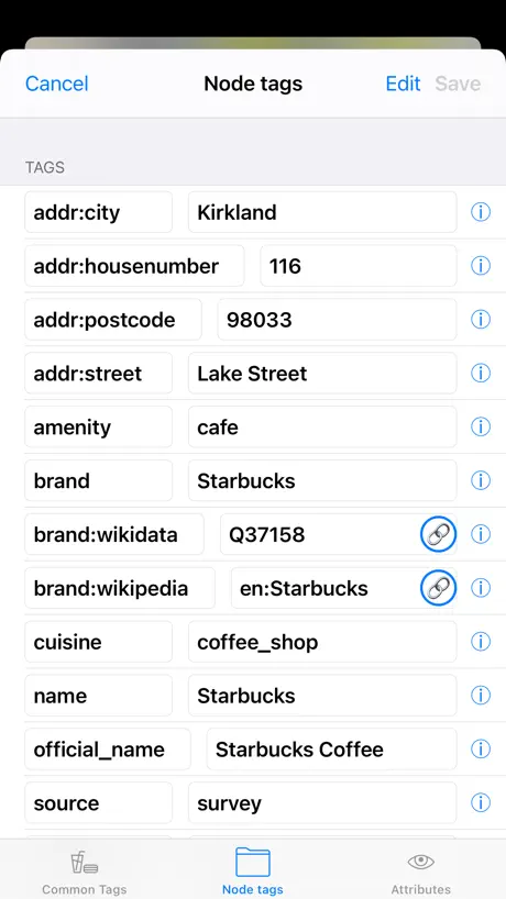
How much does Go Map!! cost?
Prices are current as of 19 Nov 2026.
Go Map!! has no in-app products on record in the United States.
10+ alternatives to Go Map!!
| Go Map!! | 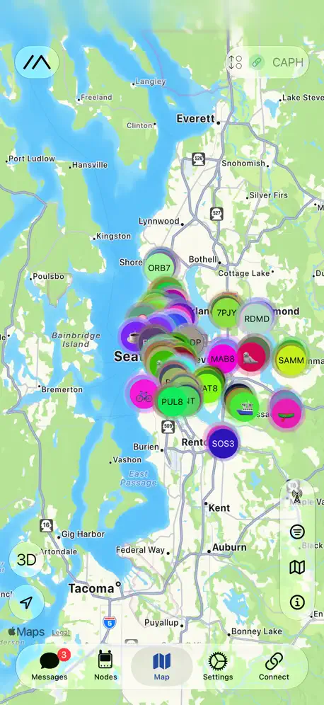  Meshtastic |   Kagi for Safari | 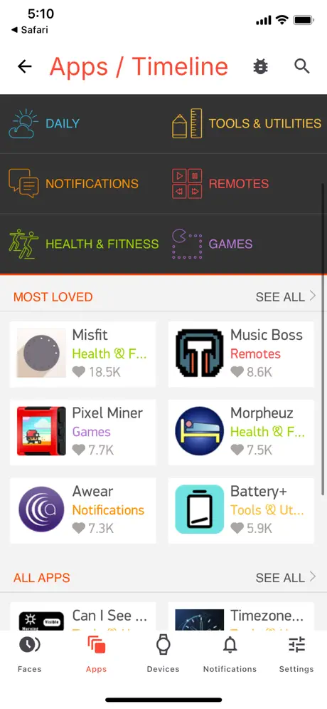  Pebble Core | 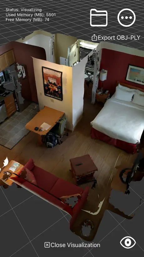  RTAB-Map - 3D LiDAR Scanner | 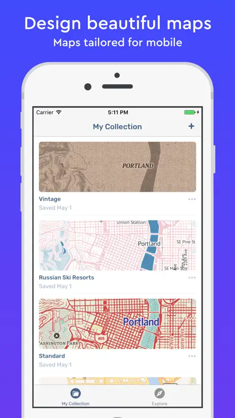  Mapbox Studio Preview | 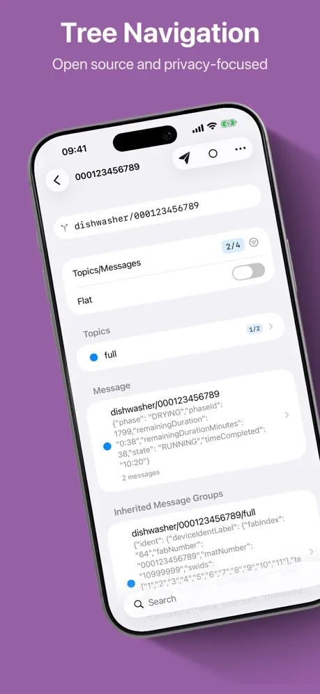  MQTTAnalyzer |   MapSwipe |   Overland GPS Tracker |   StreetComplete | |
|---|---|---|---|---|---|---|---|---|---|---|
| Rating / 5 | 4.8 | 4.2 | 4.0 | 4.5 | 4.7 | 3.5 | 4.7 | 4.3 | 4.8 | 4.9 |
| Reviews | 1.5K | 1.9K | 408 | 255 | 234 | 185 | 177 | 96 | 51 | 27 |
| Released | 2013 | 2022 | 2022 | 2025 | 2021 | 2017 | 2020 | 2016 | 2017 | 2026 |
Go Map!! reviews
4.8 out of 5, based on 1,540 reviews.
What people like
- Best full editor for iOS users
- Great for quick field mapping edits
- Easy to use while on the go
What they complain about
- Uploads fail with unsupported URL errors
- App crashes frequently or won't open
- Interface is cluttered and hard to use
Best OSM Editor
This app has quickly become not only my favorite iOS editor, but is honestly a great contender for all editors regardless of platform. It is super easy to use and provides the full featureset of editing everything in the OSM database.
Not working
Crash at start since last update
Easy to use without full OSM functionality
Go Map is convenient for adding features on the go/in the field. One can edit offline and upload later. I have used it for 2+ y in East Africa adding and editing. Main drawback is very few “amenity” options are available, at least in Tanzania. (There is no option for “bridge” that I can find, for example.)
No offset database and offset support
Unfortunately there is no support for proper imagery offset editing or setting. Without his most of the edits will be inconsistent with ground truth and current map data((
Bonne app mais plusieurs problèmes
Déjà déplacer des noeux est compliqué( il faut s’y prendre a plusieurs fois) et aussi quand on envoie une modification il y a des éléments déjà envoyés qui apparaissent
Easy to use
Pretty intuitive
App broken
App won’t work all the time and crashes my phone
Gets the job done
Been using it intermittently for small changes whilst on the move. It’s a little rough around the edges but I have managed to accomplish the changes I wished.
Lacks some critical features, making it unhelpful.
Lacks ability to change image offset and use image offset database. Assumption that using satellite data as-is currently is incorrect. Great that it exitst, and it is fast, though.
Crude interface but works great
The interface could use a bit of polishing to make it friendlier to new users but it is still very powerful
Awesome!
Go Map has been a very helpful tool for when I contribute to OSM while on the go! Its touch-centric controls lead to a far better experience than using the iD Editor site on iPhone.
Too Many Crashes
This app is a very good osm editor, half of the time. For the other half of the time it crashes any time I try to add a tag. Which makes it unusable half the time.
Solid
A good resource, I’ve used it quite a bit. Not as easy to use as a full desktop but highly functional.
Update deleted all my presets
Update deleted all my presets
Is this app for the droids too?
I showed a couple of friends this app but they can never find it for a droid phone, is this also made for them? What’s the name of the app if so?
Great editor!
This works as a pretty good alternative to StreetComplete for android, and has a complete editor!
Color scheme update 👎🏻
The updated color and font scheme looks absolutely awful, especially with the aliasing, and makes me want to switch to another app. What was wrong with the old color scheme? It was perfectly useable, while the new one is absolutely not.
Editing great, tracking OK.
Very easy to edit feature. Tracking works well, but ONLY if the device has internet access. It is an irritation when out on a hike to have downloaded aerials and have GPS but not to be able to draw your path. It would also be nice to have a better source of aerials. Sometimes I have to look at Google’s satellite view to figure out where to put a corner node in the extremely blurred GoMap image.
Can't upload
Editing is straightforward (although larger buttons would be good in an iPad mini and the offline area needs to be at least three times bigger even for short walks), but it has a fatal flaw: I can't upload my edits. When I try to upload my edits, I just see this message: "Unable to upload changes unsupported URL"
GPS трекинг отключается
GPS запись маршрута должна продолжать работать даже при свернутом приложении и заблокированном экране. Очень не хватает этой фичи. Как только телефон блокирует экран - GPS трекинг отключается🙁
Great for quick fixes on the go
I am a long time OpenStreetMap editor and member of the foundations data working group. This app provides the right amount of editability while on the go. I also like the quest feature, which is similar to street complete since it does not currently have an iOS version.
App is unusable below IOS 16!
I updated yesterday and my IOS is not 16 updated; maybe that's why it's stop working! I think you should keep the app working for older versions too! Check the issue and resolve it!
Great if you’re not in a hurry
There are small UI improvements that would be nice (default to numeric keyboards in fields that are frequently numeric, more user friendly tag suggestion, etc) but this is my favorite iOS OSM editing app.
Not working...
Looks like there’s been a change which makes the app not work any more. I’m getting an error that says ‘Unable to upload changes - unsupported URL’
Great way to contribute to Open Street Map
A powerful but simple way to contribute to OSM.
Why must you have my location?
I can see giving Go Map the town or city I live in, but I could not use the app until I was willing to allow Go Maps to know my exact location. Why? Please don't tell me "its to better serve the user"....I'll decide that - not an un-named, hidden, developer. I quickly deleted the app and recommend others do the same if you appreciate your privacy.
This app does its job, could be better though.
This app does what it says. You can map and add tags to multiple places in OpenStreetMap map in a user friendly interface. However, it’s design looks somewhat unprofessional, and sometimes unorganized. For example, if you mark a place that accepts reservations as “Not Accepted”, it will show up on the editor as “No”. As well as the fact that if you get uploading errors, you will manually have to edit the xml yourself. It’d be nice if they had a conflict system in the app.
Bonne idée mais très instable
Le concept est bien (pouvoir faire des relevés sur le terrain et hors connexion) Mais après qques secondes d'utilisation l'appli plante et on perd tout le travail A revoir absolument!!!
Great iOS App for Editing OSM
I highly enjoy the way this app is put together, it allows full editing of any data in OSM, and the GPS tracking and uploading feature is very useful for mapping trails that aren’t visible from aerial imagery.
Keine aktuelle Map
Leider sind auch hier das Material nicht aktuell und teilweise älter als 5 Jahre und mehr. Somit nutzlos.
Useful for quick updates
Useful for quick updates and amendments when out and about. I don’t try complex editing on it, and will often tidy up further with a desktop editing session but let’s me get the basics down.
Best OSM editor for iOS
This is the best app to edit OSM maps even unhandy stuff remain as well as some seldom and rare crashes
Great field mapping app
For when you’re out in the field this is an excellent app. The quality is excellent and it is so easy to use. For anyone serious about mapping this is a tool they should seriously consider! If I had one request it would be to make downloading maps easier to do. But I can’t believe live with its slightly clunky tile based interface for now!
Confused
This looked like exactly the type of app I was looking for. Unfortunately I’ve never used such an unnecessary complicated app. I know it’s free, but this app could be more usable just be stripping it back to basics a bit. The map itself is messy and difficult to use because of all the different colours everywhere - I assume these are routes? Main roads? I’ve no idea... but when I try to do my own route it gets lost in all the busy colours of the roads and walking routes and cycle routes. I’ve tried to turn them off so it’s just my route only visible on a clear satellite or hybrid map, but I can’t find a way of doing it. Street names and one way arrows slide along the screen as you pan around. Can be handy in some situations, but just adds to the clutter over all. Let me turn that feature off! Also, why when I’m creating a route placing the nodes along the way, at times I can just suddenly change the length and even place of the street? Why would that even be a thing? I can’t see a reason why you would need to suddenly change a road so you can add corners and things into it that are not there? (And by the way, it’s not the route and nodes that are changing, it’s the ACTUAL street being totally movable). Again, if there is a reason for doing this (I don’t know what that would be), then let me turn that feature off, or at least make it so it can’t even be done by accident while you’re creating your route. ... what I wanted was a simple to use map app that I could create routes on. I like the idea of being able to add my own info along the way. This could be it if it was just tidier. I don’t see myself as someone who struggles with technology etc, so I don’t know what I’m missing when other reviewers find this as a “go to” app.
Needs an update!
Really good app, mapping was fast to load and straightforward to edit. However since iOS 13 it crashes when I try to open it
Ou trouver les anciennes versions ?
Très bon produit qui ne fonctionne plus suite aux mises à jour sur mon Iphone 4. Ou trouver ces versions ? Cordialement
just GO
takes a second but there really is nothing else like this gorgeous little map maker 🎯⚓️🔥
Force closing
Can’t even open the app without it force closing
Brilliant, even better if one could select what is shown
Doing some mapping, administrative boundaries for example are often in the way (or overlap with roads, rivers). Would be great if one could deselect them somehow.
This app is great!
To sum it up: this app does everything I would want from a mobile OpenStreetMap (OSM) editor! I use it to map small details of my area most often, but I also am able to add entire buildings and driveways. It’s easy for me to synthesize my knowledge of OSM mapping with this app to make sure my edits are accurate. It’s easy to use while just on the go! I love that it’s available on IOS!
Poor
Extremely laggy and keeps crashing on 3G!.
I like this app a lot!
I’ve only just discovered this app, wish I’d found it earlier as I’ve been wanting something that would show my gpx files as tracks on OpenStreetMaps, which for running and cycling are far superior to Apple maps. This does the job very nicely, though I’d like to be able to edit the imported gpx track colour and line thickness. Nice app, nonetheless.
Go Map!! FAQ
- Is Go Map!! free?
- Yes. The app is free, in all 175 countries it sells in, and it sells nothing inside it.
- Does Go Map!! have a free trial?
- No. None of its offers (US) come with a free trial.
- What are the best alternatives to Go Map!!?
- Meshtastic (4.2 from 1,890 reviews), Kagi for Safari (4.0 from 408 reviews) and Pebble Core (4.5 from 255 reviews).
Go Map!! download
Last updated 1 month ago.
Go Map!! sells in 175 countries. It was released 13 years and 9 months ago, on 25 Jan 2013. It holds a 4.8 rating from 1,540 reviews.
Supports 29 languages: English, Arabic, Basque, Croatian, Czech, Dutch, Estonian, Finnish, French, German, Greek, Hungarian, Indonesian, Italian, Japanese, Marathi, Norwegian Bokmål, Norwegian Nynorsk, Occitan, Polish, Portuguese, Russian, Chinese, Sinhala, Spanish, Tamil, Turkish, Ukrainian, Vietnamese.
How much does Go Map!! make?
Third-party estimates for the last 30 days, worldwide — not the store's own figures, which Apple publishes for nobody.