
Mt. Fuji - GPS Trail Map
for hikers to reach the summit
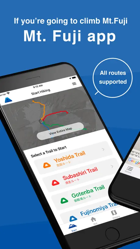
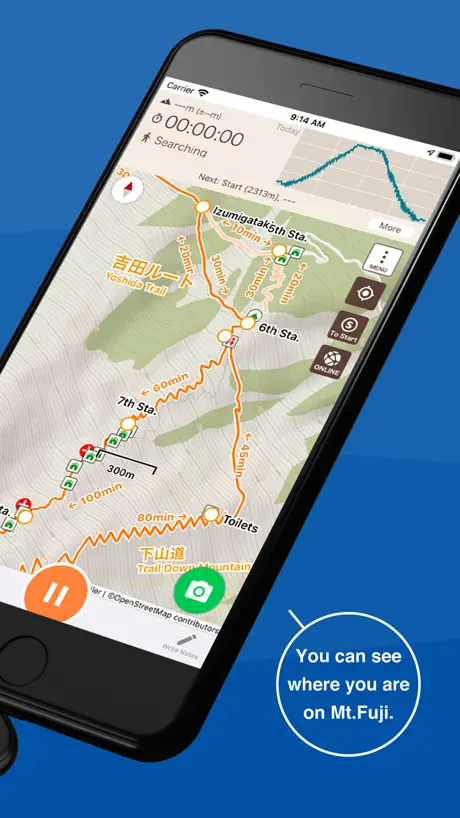
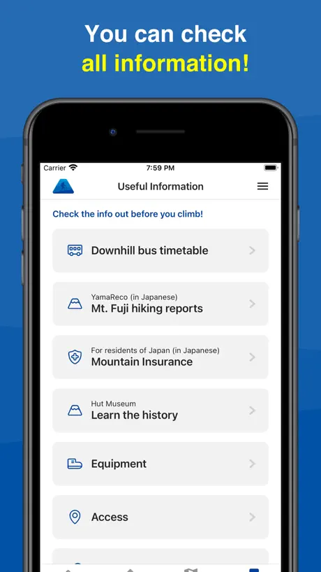
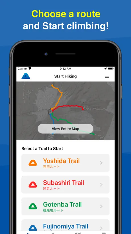
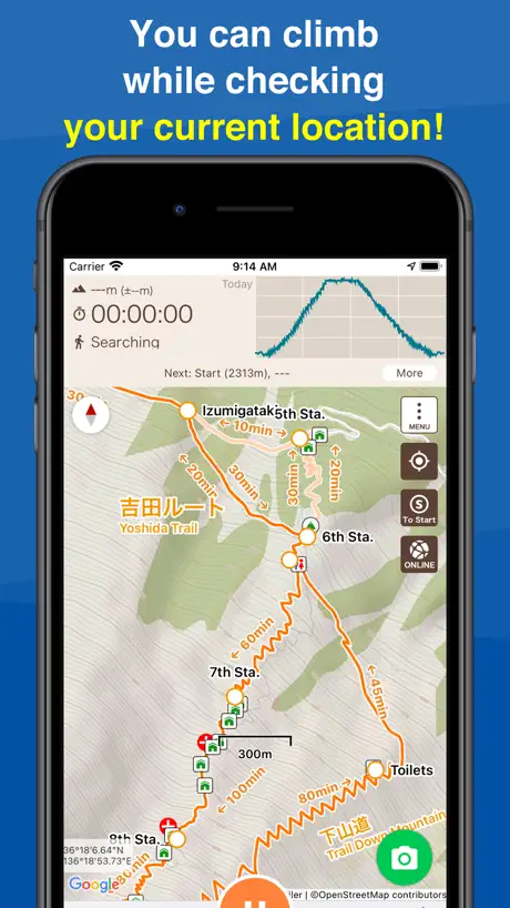
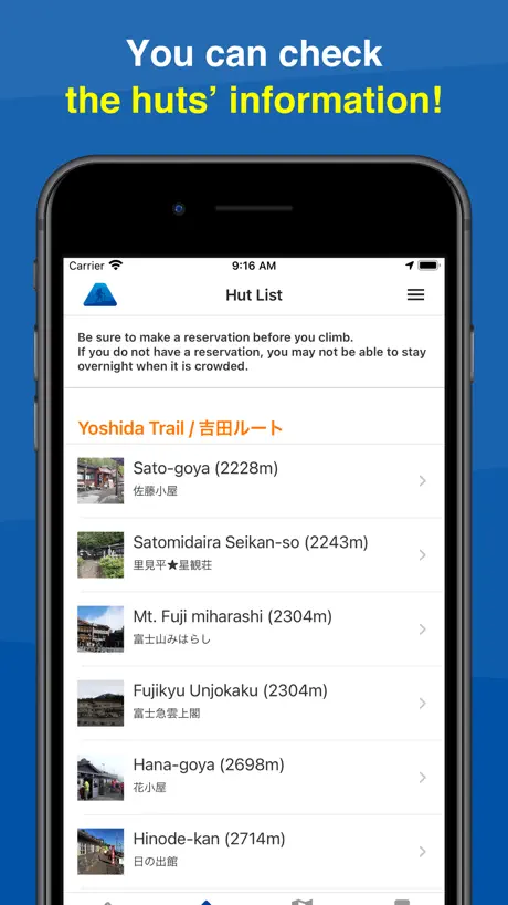
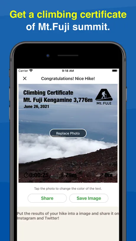
How much does Mt. Fuji - GPS Trail Map cost?
Prices are current as of 9 Sept 2026.
Mt. Fuji - GPS Trail Map has no in-app products on record in the United States.
10+ alternatives to Mt. Fuji - GPS Trail Map
| Mt. Fuji - GPS Trail Map |   スーパー地形 スーパー地形 |   Keikenchi: Japan Travel Map Keikenchi: Japan Travel Map | 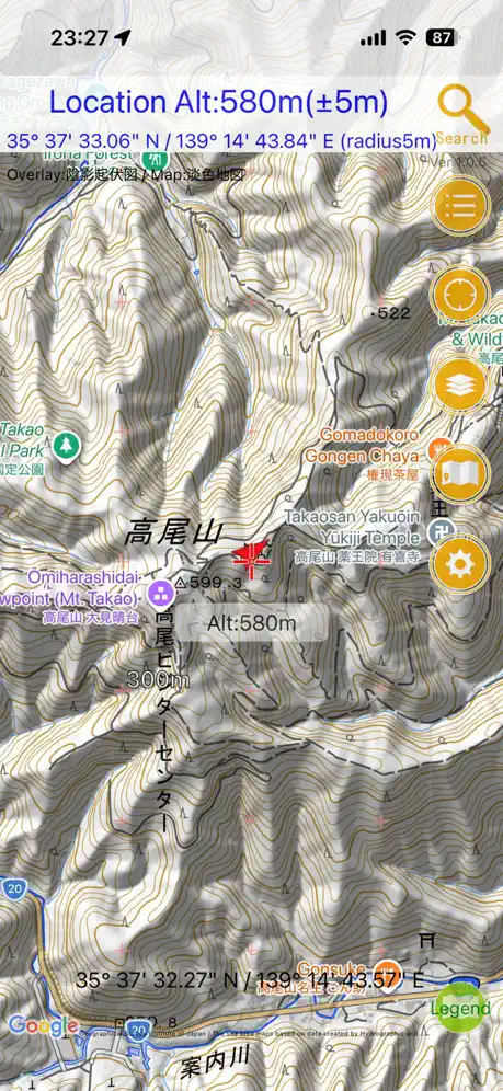  国土マップR 国土マップR | 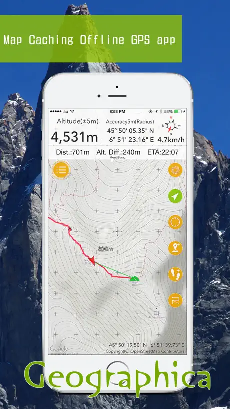  Geographica | offline map Geographica | offline map |   ハイウェイバスドットコム ハイウェイバスドットコム |   ヤマチズ(旧 山と高原地図ホーダイ) ヤマチズ(旧 山と高原地図ホーダイ) |   山と高原地図 山と高原地図 |   Imperial Palaces Guide Imperial Palaces Guide |   ヤマスタ 登山・ハイキングのスタンプラリーYAMASTA ヤマスタ 登山・ハイキングのスタンプラリーYAMASTA | |
|---|---|---|---|---|---|---|---|---|---|---|
| Rating / 5 | 4.8 | 4.7 | 4.6 | 4.5 | 4.5 | 1.6 | 2.4 | 3.2 | 3.4 | 3.3 |
| Reviews | 2.1K | 14K | 12K | 5.8K | 2.5K | 591 | 139 | 132 | 118 | 63 |
| Released | 2021 | 2016 | 2018 | 2017 | 2014 | 2020 | 2017 | 2012 | 2017 | 2015 |
| Monthly price | — | — | $0.99 | — | — | — | $4.49 | — | — | — |
| Annual price | — | — | $9.99 | — | — | — | $41.99 | — | — | — |
| One-time price | — | $7.99 | $34.99 | — | $14.99 | — | — | $3.99 | — | — |
The going rate for each plan in United States, in its own currency, shaded from the cheapest price on the row to the dearest.
Mt. Fuji - GPS Trail Map reviews
4.8 out of 5, based on 2,147 reviews.
What people like
- Helped me not get lost
- Nice audio updates on time
- GPS location is very accurate
What they complain about
- Drains battery way too fast
- Randomly unmutes voice without headphones
- Warns you on wrong routes
吉田ルート
登りやすくて景色も良く最高でした❗️
距離はおかしい
通った場所の表示は正しいのに距離が大幅に間違っていました(3km)。Garminで計測したので正しいはずですが。
4年富士‼️
富士山たのしかったです。 今回は,吉田コースから、いきました。 4年生だったけど、つかれたり、たのしかったりで、うれしかったです。 2年前に、ふじのみやコースから,行ったので,2年後には,須走コースを、いってみたしです。
ルートに関して
各ルート+お鉢巡りのルートだけで プリンスルートなどで登り下りすると警告が出てしまう。 選択できるルートを増やしてほしい
良かったけども
性能はよく富士山登山に役立ちましたが、バッテリー消費があまりにもエグすぎためこの評価とさせてください
Good App and place
helpful, accurate and good. Good walk.
改善希望
メリットは、登山ルートを選択し、そのルートを外れると警告されることのみ。デメリットは、①アプリをオンにすると多量の電力を必要とすること、②10分に一度「現在時刻と標高」を通知するのみで、残り距離や残り時間など登山者に必要な情報を伝えないこと。
GPSで位置が正確
位置情報が正確で良いです。登頂証明という機能は、ずっとONにしていないと正確な登頂時間にはなりません。
Randomly unmutes
Randomly unmutes even when the phone is locked, and not connected to a heaphone, which is quite annoying, ended up not using it for this reason
I love fuji
Climbing Mt. Fuji was an amazing experience. The scenery was beautiful, and every step was worth it. 🏔️
わざわざ「登山開始!」の音声うざい
iPhoneの音量0にしても勝手に復活して音声案内してくれる。道は自分で確認するので不要です。
Great app
Good app to plan your trip. I would suggest adding English options are translation for posts. Over all gray app.
プリスルートは?
のぼり富士宮ルート、下山はプリスルートにしましたが、選択項目に見つかりませんでしたよ
ゴミ
下山時間は全然違う
登山
登山で現在時刻と標高を教えてくれるのでペースを考える事が出来る。
登頂できました
10分おきに時刻や標高を読み上げてくれるので、休憩の目安になりました! 9時間ほど起動して電池残量70%でしたので、電池持ちもよかったです
富士山最高‼️
還暦記念登山、無事登頂成功、日本人に生まれたなら、一度は登るべき。 頂上(テッペン)獲ったゾ〜‼️
初❣️
イヤホンで聴きながらのナレーション、楽しめて良かったです。 特に時報がありがたいと感じました❣️
助かりました✨
とても心強かったです👍
Amazing app
Great app. Didn’t get lost at all because this app was SO helpful. Love the estimated time of arrivals as well. Highly recommend.
Mt. Fuji - GPS Trail Map FAQ
- Is Mt. Fuji - GPS Trail Map free?
- Yes. The app is free, in all 175 countries it sells in, and it sells nothing inside it.
- Does Mt. Fuji - GPS Trail Map have a free trial?
- No. None of its offers (US) come with a free trial.
- What are the best alternatives to Mt. Fuji - GPS Trail Map?
- スーパー地形 (4.7 from 13,517 reviews, premium from $7.99), Keikenchi: Japan Travel Map (4.6 from 12,015 reviews, premium from $0.99) and 国土マップR (4.5 from 5,762 reviews).
Mt. Fuji - GPS Trail Map download
Last updated 1 month ago.
Mt. Fuji - GPS Trail Map sells in 175 countries. It was released 5 years and 3 months ago, on 29 Jun 2021. It holds a 4.8 rating from 2,147 reviews.
Supports 2 languages: English, Japanese.
How much does Mt. Fuji - GPS Trail Map make?
Third-party estimates for the last 30 days, worldwide — not the store's own figures, which Apple publishes for nobody.