
OpenSky - App for Drone Flyers
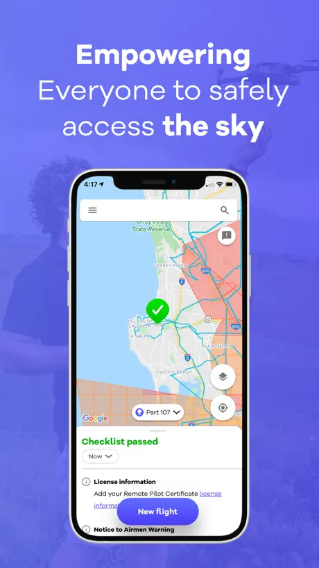
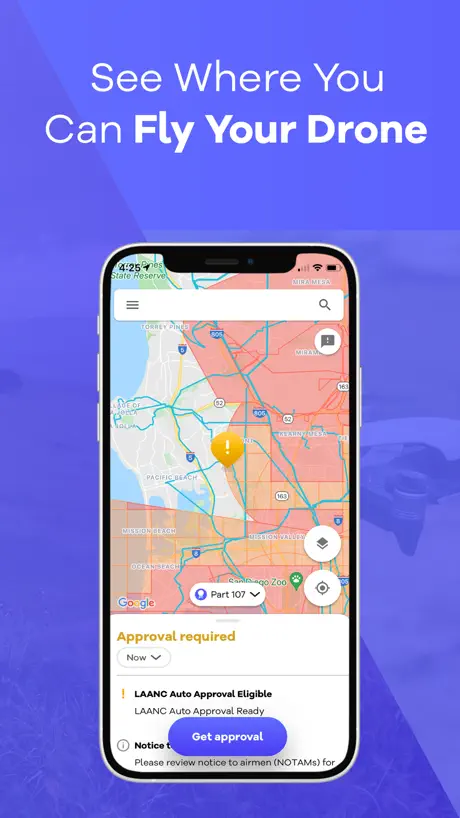
Find where you can fly
How much does OpenSky - App for Drone Flyers cost?
Prices are current as of 15 Nov 2026.
OpenSky - App for Drone Flyers has no in-app products on record in the United States.
10+ alternatives to OpenSky - App for Drone Flyers
| OpenSky - App for Drone Flyers | 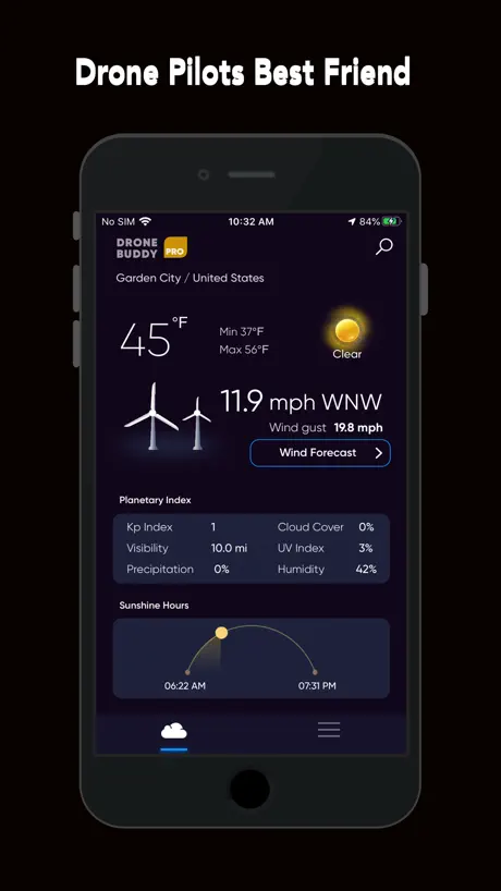  Drone Buddy: Fly Drone Safely | 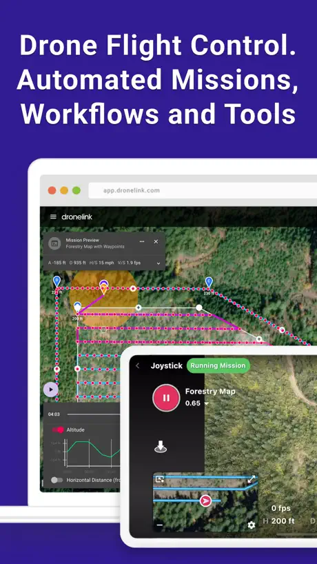  Dronelink Flight | 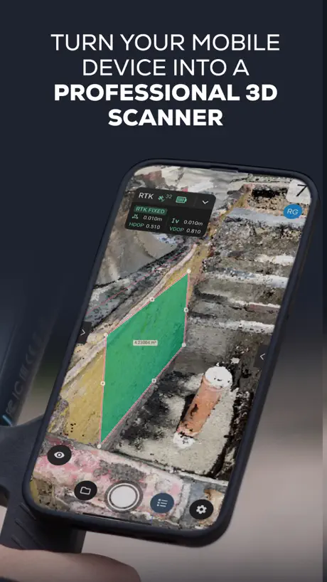  PIX4Dcatch: 3D scanner | 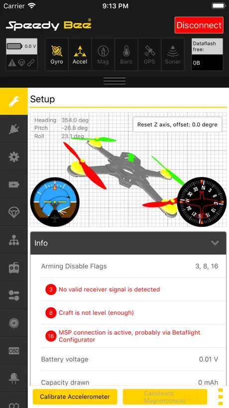  SpeedyBee App | 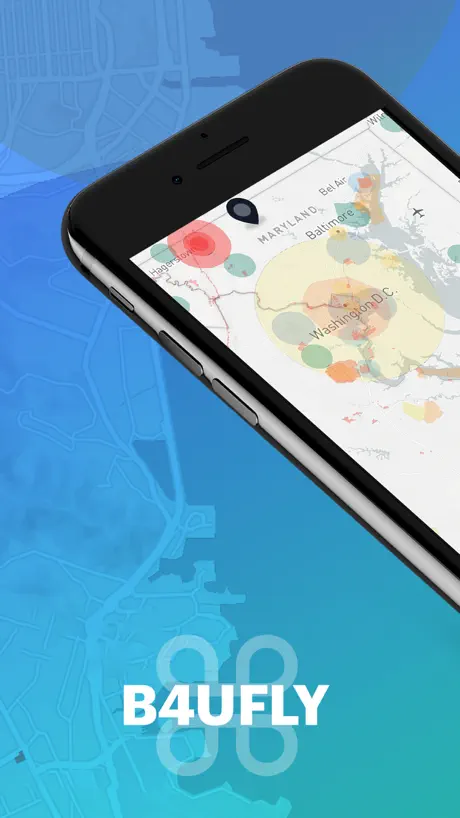  B4UFLY Drone Airspace Safety |   Airdata UAV |   Drone Go2 |   DroneScout pro |   Drone Scanner (gen.2) |   FlyGuys Capture | |
|---|---|---|---|---|---|---|---|---|---|---|---|
| Rating / 5 | 4.8 | 4.7 | 4.6 | 4.6 | 3.7 | 3.6 | 3.5 | 2.4 | 3.6 | 2.6 | 2.8 |
| Reviews | 1.1K | 17K | 2.5K | 1.3K | 706 | 549 | 88 | 28 | 26 | 25 | 6 |
| Released | 2019 | 2015 | 2019 | 2020 | 2016 | 2016 | 2020 | 2023 | 2025 | 2025 | 2024 |
| Monthly price | — | $4.99 | $39.99 | $159.00 | — | — | — | — | — | — | — |
| One-time price | — | $79.99 | $59.99 | — | — | — | — | — | — | — | — |
The going rate for each plan in United States, in its own currency, shaded from the cheapest price on the row to the dearest. Plans fewer than four in ten of the priced apps sell are left out.
OpenSky - App for Drone Flyers reviews
4.8 out of 5, based on 1,092 reviews.
What people like
- Makes getting LAANC clearance very simple and fast
- Easy to use and clearly shows legal flying spots
- Works well when other systems are down
What they complain about
- Only lets you sign in with Google
- You must tap boxes to see height limits
- Wrong info about Australian national parks and rules
- Misses important temporary flight restrictions like TFRs
Easy to use
So nice to have an app where I can list all my aircraft and get LAANC approval in a minute.
Sketchy And Suspicious
With a name like “OpenSky” you’d expect open source software but this is run by a private company. The app requires you to authenticate and create your account by linking your Google account. Linking your Google account is the *only* way to use the app. There’s no reason to make this the ONLY way for users to create accounts unless their goal is to siphon as much user data as possible. The whole thing is scummy.
Trying my hand
I am experimenting with submitting flight plans without actually flying my drone. How does submitting flight plans actually work?
Average App. Needs updating
The app doesn’t reflect the different CASA flying regulations for drone under 250g.
Heads & tails better than ALoft but still obtuse
App could be a little more helpful. For instance it asks for “registration #” and wont let you proceed without it THis is vague. What registration number from whom? After quizzing Perplexity Pro AI we figured out it’s a registration number not needed by anyone flying drones under 250 grams. Interface could be way better if they explained that they’re asking for the FAA registration number or something a little more clear. As pilots we’re dealing with all kinds of registration numbers, serial numbers, etc.
Part 107 Companion
I use open sky on nearly every site visit where I’m flying my drone. I live in an area where there are many airspace regulations. Create a pilot profile at your drones and get airspace authorization in seconds for most.
Requires Google account
Google is a non starter. There’s all sorts of third party login systems. Google is the last one I’d ever trust. Apple has their own third party login system. Very odd an iOS app wouldn’t support the system the app is actually running on.
Overall a pretty good app
This app is good for any drone flyer to have but every time I try to plan a flight it says I need to sign in with Google, but every time I sign in it still tells me I have to sign in. I also could not find how I am able to see the max altitude on the map. I would appreciate help.
Great app but no longer works on ios12
This iPad mini 2 is dedicated to the drone as it was built to fit one. Very sad an app like this crashes on it.
National Parks
The app. Says it is ok to fly at Cape Schank and also at Albert Park Lake in Victoria but these areas are controlled by Parks Victoria. The restriction does show up for Wilson’s Prom. but not for others.
Review
Review
No height limits shown on map
There is no reason not to have the heigh limits in controlled airspace shown in each quadrant on the map. Sure, it might get a bit busy at a certain zoom level but once you're zoomed in significantly, the height limits should pop up so a user can compare multiple quadrant at once - especially because not all flights fit perfectly into the boxes and being aware of the lowest height limit for a mission at a glance is necessary. Tapping each quadrant is stupid. It defeats the purpose of a map. I've asked about this via feedback many times and there isn't even an acknowledgement that it is a good idea nor has there been an explanation for a good reason NOT to implement this. At the very least put a setting for the pilot to enable this feature if desired. Other new features are added each update that are unnecessary but not this fundamental piece of information. If this is changed I'll revise the review. ---- Edit: Still didn't implement height limits on the map without tapping for more details. It's one year later. What are you waiting for? Also why do you have transient restrictions like sports events permanently on the map as if they are active? That defeats the purpose of the map. It's less informative when you have big orange shapes on the map that are not even active that day or week at all. Misleading and confusing.
Good
Easy to use Locates where you are (oppitional) If you want to go somewhere just type in address or move map placing the pin where you want. Simple no fly = red Simple restrictions = orange If it’s not coloured then you know your good to fly Restrictions even has a swipe up to find out what sort of restrictions are in place/why Good app Can’t wait to get out flying
Requires Gmail to login
You can only file flight plans if you login with Google. Not everyone (especially on Apple iPhone) has a Gmail compatible email address.
Needs to add Mini 4 Pro
I like the layout of the app, but they do not have the mini four pro to select from so I can’t use it when I fly the mini four Pro
Perfect
Simple and dependable. It gives me confidence that I can do my flight safely and legally.
Huge liability risk
Doesn’t show wilderness area restriction in an area I’m familiar with that other apps show as restricted. This app says flight is good to go with green checkmark. Flying there could result in fines and criminal penalties. Yikes! Also google account-only integration is super lame!
Good App, but could be GREAT
I’m impress with the app, and am happy that CASA has commissioned (?) the development. (It’s much better than the older app from CASA). I have one suggestion, and that is when clicking on the pin, whether it’s a cross or exclamation mark, that you are then able to click again on the dot points for additional information about the comment. Currently the “Learn More” button takes you to a generic website. If CASA was wanting users to understand the rules better, a link to a relevant web site would be better than a comment like “Operating near a known helipad”. Does this mean that I can fly, but under a restriction, or that I can’t fly at all. If I can fly, what are the restrictions?! I know that CASA is attempting to go down the educational path for drone pilots, so I hope that these small changes could be made to improve the finer details of the education.
Missing TFR temporary flight zones
Great app! But the temporary flight zones (TFRs) are missing. For example today we have a presidential TFR at LAX within 30 miles radius, but on OpenSky it’s not showing, which could lead to really bad consequences. B4UFLY and Air Aware both are showing the TFZs.
I would have expected more from Wing, LLC.
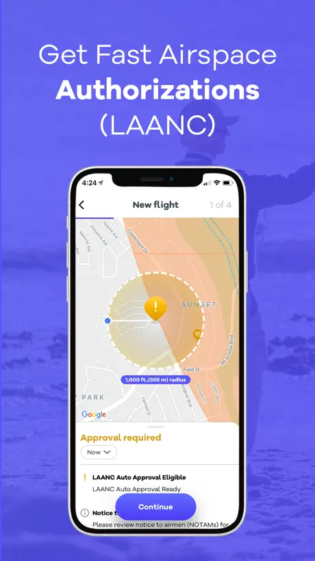
This app is functional and is easy to use. I can often times get a LAANC authorization using this app when other systems are down. The app can get a request rapidly, if you need it in a pitch. However, there are things that I wish this app would do, that other apps have as capabilities. First, most airport grid coordinates are square. But this app only provides you a circular range for requesting authorization. And if you are working near the edge of a lower altitude grid, not having that ability to set up a rectangular area can prevent you from flying at a higher altitude if you need the radius in the opposite direction. So, for commercial use, this is not my go to app. I also have a need to be moving and setting up short flights on the fly around certain airports. So I need to be able to close an authorization once I landed, so that I can stay within the two authorizations limit. I have been unable to figure out how to close an active authorization in this app. If that functionality is present, it is not intuitively obvious. Having to hunt and peck is not user-friendly. Finally, for the longest time there have been comments in the review section for this app that have stated that it is not user-friendly, and just plain stupid, not to show the altitude for a grid on the screen without tapping. It is clear that the programmers do not care, because it has been so long, and nothing has been done about that. So, if I was Wing, I would either start making this app more user-friendly, or dissociate your brand from this app. You are doing yourselves no favors. It represents a programming group that is unprofessional.
Part 107 must have
I tried a few apps, this one made LAANC approval simple. Love it. Highly recommend.
only google login
seems like it could be pretty good, but can’t really do anything without signing in, and only allows signing in via google.
Data not useful
National parks in Australia are no fly zones yet appear with a green tick. The data is it accurate so you can’t really trust the app at all. It’s a rough guide at most
Nice interface, doesn’t actually notify flight.
The interface is generally great but I can’t see what I’m typing in this comment section so I’ll keep it short. I love the app interface but when you notify a flight it doesn’t show up on any other flight planning website. So what’s the point?
Great app
Helped me to get clearance to do some inspection work.
Doesn’t work in Europe
The app use to work in Europe but in both UK and France the app doesn’t work.
Way To Soon
Why CASA would pull their app down before a reliable app that can be trusted and fully functional is put in place is beyond me? They need to read the reviews of the currently only app they recommend and make theirs available again until a suitable replacement is up and running. For this developer you should focus on replicating the “can I fly there” app as a starting point. If that’s the governments one featuring all correct info they hold pilots accountable for. Simple things like icons that quickly shows what the coloured area means without the need to remember it or look it up. Read their app reviews and don’t make their same mistakes and include the features reviewers are asking for.
Needs live ADS-B Data Notifications
OpenSky is surprisingly good and I honestly don’t know why everyone is complaining about it... I find the application easy to use, it doesn’t look too bad and seems to provide useful information to UAV (“drone”) operators. I do have two issues with this application though - it uses Google Maps data rather than OpenStreetMap data, and it does not show live data from ADS-B systems. Now the first issue is a philosophical issue and unlikely to change, given this application is actually made by Google... But the lack of support for ADS-B systems is unacceptable. Whilst it is (usually) pretty easy to identify helicopters in the air, planes / jets move awfully fast and I have on occasion landed my UAV (“drone”), only to have a plane / jet fly overhead seconds later! If this application were able to send a notification to users which says something to the affect of “Aircraft is approaching your position!”, it would avoid this situation completely, whilst enhancing safety in the process. Hopefully Google will soon see fit to implement such functionality using their vast resources and if they can’t be bothered, there are websites like “FlightAware” and Flightradar24” which provide this information via an API... Making the implementation of such functionality even easier. Anyway, this application is handy and I highly recommend it, even for experienced UAV (“drone”) operators.
Easiest LAANC app to get authorized
I’ve tried out many apps when flying my drone to get LANC clearance. This is by far the easiest and it’s free. I will go nowhere else download this app.
Ok but not perfect
Check list menu can’t be moved down to have full screen map. Most important, for who doesn’t have google or doesn’t want it, there should be another way to log in with another email provider.
Needs work
It seized my computer 3 times and is very confusing on what is restricted, needs a lot of updating. Under the drone flyer questionnaire they need to remove the question that refers to the "can I fly there" app
Confusing
The red x really confuses. It basically seems like you can’t fly a drone at all, but on closer observation and reading it appears you can, conditionally. Still unsure
Works great.
I recommend to use the satellite image on the map. Perhaps the developers could consider making that the default…
Unable to submit for further coordination
The app only allows flights up to the max altitude zone, but does not allow further coordination with ATC
So where is the key?
Where is the key that advises what the different colours on the presented map actually means?
Great for finding where it’s legal to fly at
So far, this app has seemed to be the best on the App Store for clearly finding where it’s legal to fly at. I’ve used this app in both Australia and the United States and have had great success finding places to fly.
Another useless misrepresentation
All these drone apps are useless. The majority of drones flying today are now sub 250g category. The rules/laws are totally different for this class but not one single drone app reflects this. Each developer blames CASA for not providing enough information when all they need to do is add a sub 250g category and associate it to the geo zones near controlled airports. It’s spreading misinformation which CASA is well known for.
No fly zone suggestions
Suggest marking no fly zones around Commonwealth National Parks, eg Kakadu and Uluru-Kata Tjuta. Currently, the pin is green if placed on Uluru, which is incorrect.
A really nice replacement for Air Map
Tried to use Aloft Air Control.. it’s too clunky if you’re using a controller and not your phone. Open Sky is leagues better and much more comparable to Air Map!! Highly recommend.
Decent but map is missing something HUGE
Maps don’t show the allowed flights heights!! No way to tell how high I can fly in a space that requires approval. This is a HUGE missing part and an issue!!! Update - You have to tap on the box to see allowed height. Why? This is stupid! Just show it on the map!
No fly areas
Hi are the no fly areas correct? Ie Archerfield airport in Brisbane has extended no fly zone past the usual area (you can see it in the forest lake area) When going to the old app (can I fly there) the “red” no fly zone is more circular and doesn’t include the extended flight path restriction. Just need to clarify which is actually the correct restriction.
OpenSky - App for Drone Flyers FAQ
- Is OpenSky - App for Drone Flyers free?
- Yes. The app is free, in all 2 countries it sells in, and it sells nothing inside it.
- Does OpenSky - App for Drone Flyers have a free trial?
- No. None of its offers (US) come with a free trial.
- What are the best alternatives to OpenSky - App for Drone Flyers?
- Drone Buddy: Fly Drone Safely (4.7 from 16,528 reviews, premium from $3.99), Dronelink Flight (4.6 from 2,462 reviews, premium from $29.99) and PIX4Dcatch: 3D scanner (4.6 from 1,310 reviews, premium from $159.00).
OpenSky - App for Drone Flyers download
Last updated 1 year ago.
OpenSky - App for Drone Flyers sells in 2 countries. It was released 7 years and 4 months ago, on 3 Jul 2019. It holds a 4.8 rating from 1,092 reviews.
Supports 75 languages: English, Afrikaans, Albanian, Amharic, Arabic, Armenian, Assamese, Azerbaijani, Basque, Belarusian, Bangla, Bosnian, Bulgarian, Burmese, Khmer, Catalan, Croatian, Czech, Danish, Dutch, Estonian, Finnish, French, Galician, Georgian, German, Greek, Gujarati, Hebrew, Hindi, Hungarian, Icelandic, Indonesian, Irish, Italian, Japanese, Kannada, Kazakh, Korean, Kyrgyz, Lao, Latvian, Lithuanian, Macedonian, Malay, Malayalam, Marathi, Mongolian, Nepali, Norwegian Bokmål, Odia, Persian, Polish, Portuguese, Punjabi, Romanian, Russian, Serbian, Chinese, Sinhala, Slovak, Slovenian, Spanish, Swahili, Swedish, Tamil, Telugu, Thai, Turkish, Ukrainian, Urdu, Uzbek, Vietnamese, Welsh, Zulu.
How much does OpenSky - App for Drone Flyers make?
Third-party estimates for the last 30 days, worldwide — not the store's own figures, which Apple publishes for nobody.