WinGPS Marine
NavigationTravel

WinGPS Marine

Stentec Software · released 30 May 2019 · Open in App Store ↗

Revenue 30d not estimated
Downloads 30d not estimated
Rating 3.08 63 reviews

No in-app products collected for this app.

Rating
Netherlands32%203.45
Germany30%192.95
France5%32.33
United States5%31.33
United Arab Emirates3%24.50
Canada3%24.00
Indonesia3%23.00
Philippines3%25.00
Bulgaria2%11.00
Brazil2%11.00
United Kingdom2%11.00
Italy2%15.00
Lithuania2%11.00
Malaysia2%13.00
Paraguay2%15.00
Russia2%11.00
Turkey2%12.00
Vietnam2%15.00

The store shows a different set in every country

Description

Ideal for navigation onboard of your sailing yacht, motorship, canoe or longboat:

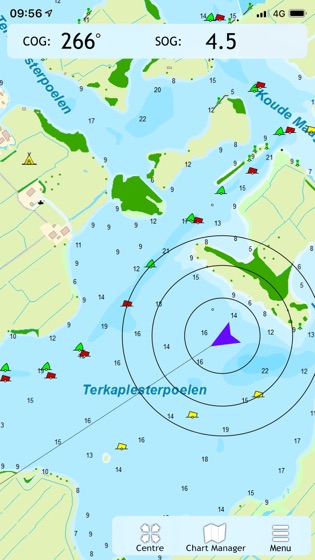
Always know where you are, how fast you go and what your course is using a GPS receiver (internal or Bluetooth).

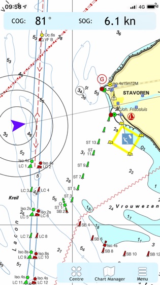
Download the chart of your sailing area and check the current depths, buoys and other nautical information.

Place a navigation waypoint and sail to your destination using the course line, Course to Go and Distance to Go.

Waterway network: View the information of the bridges, locks and waterways.

View your sailed track on the chart.

Show the distance circles around your GPS position.

At the first start-up of the app, you will be asked to log in with your account. The free default online charts from Apple are available in the app for orientation. The DKW-charts of 2018 and newer, which are connected to your account, can be downloaded directly in this app and be used for navigation.